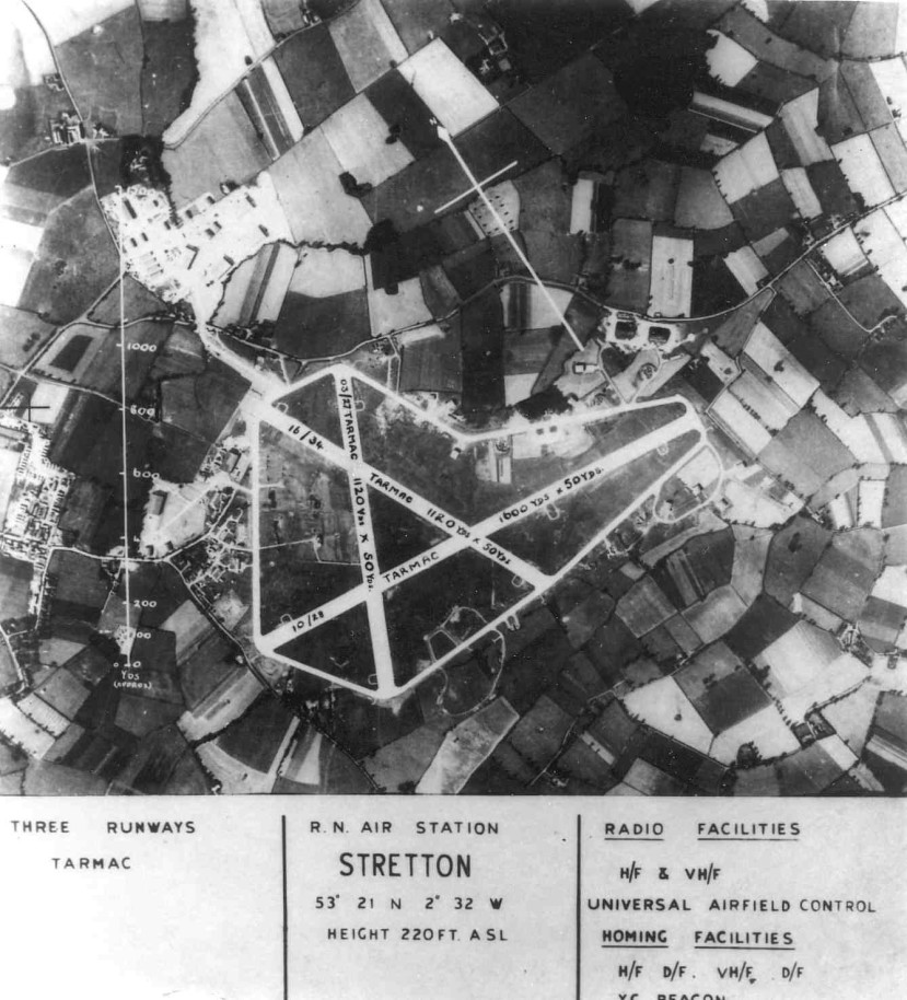
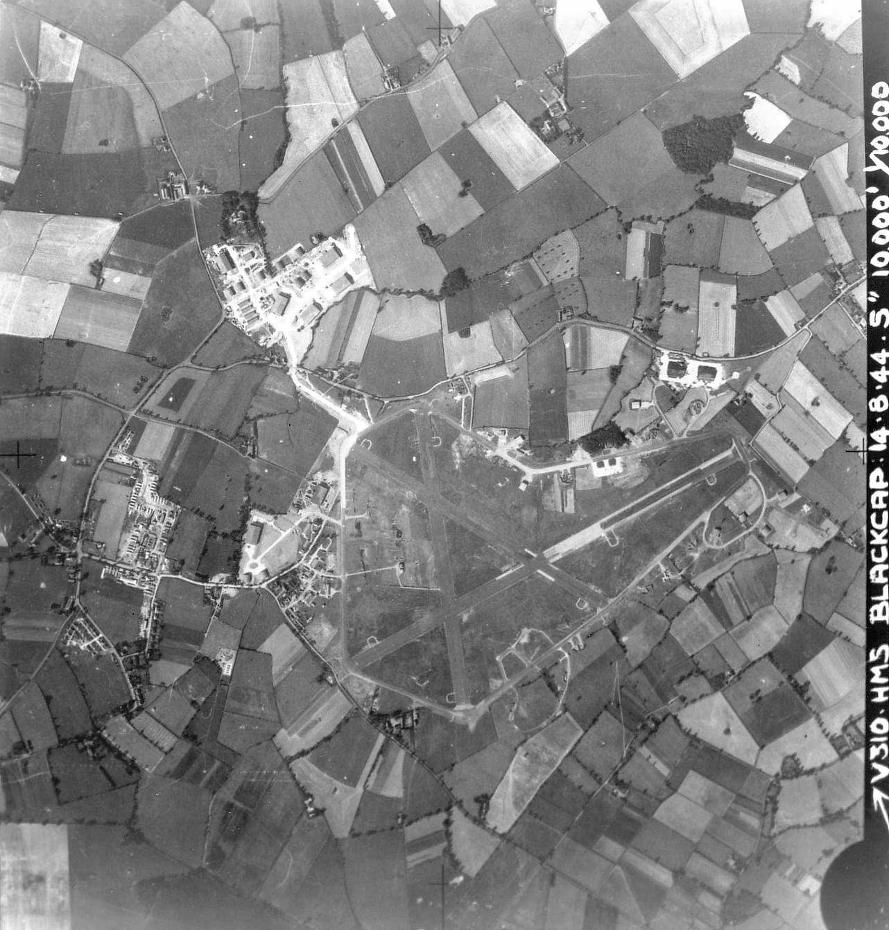
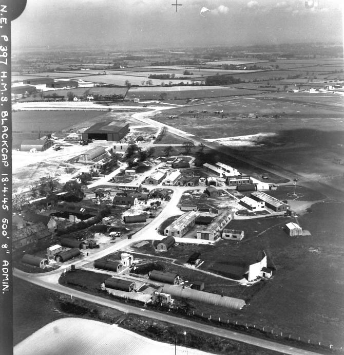
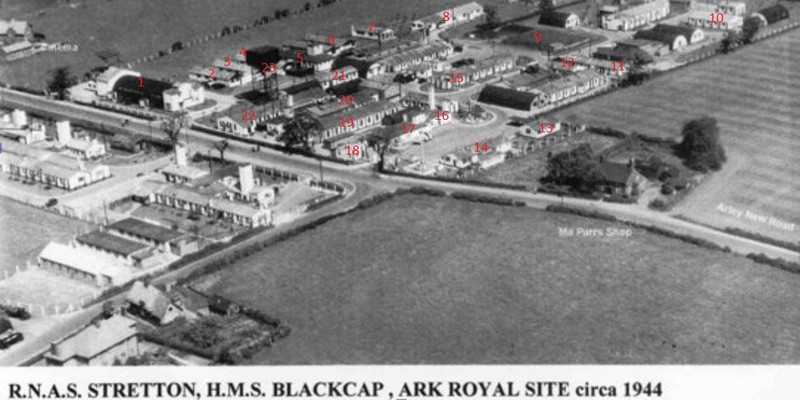
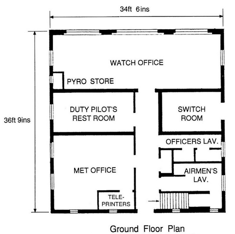
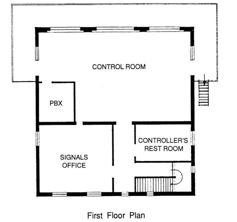
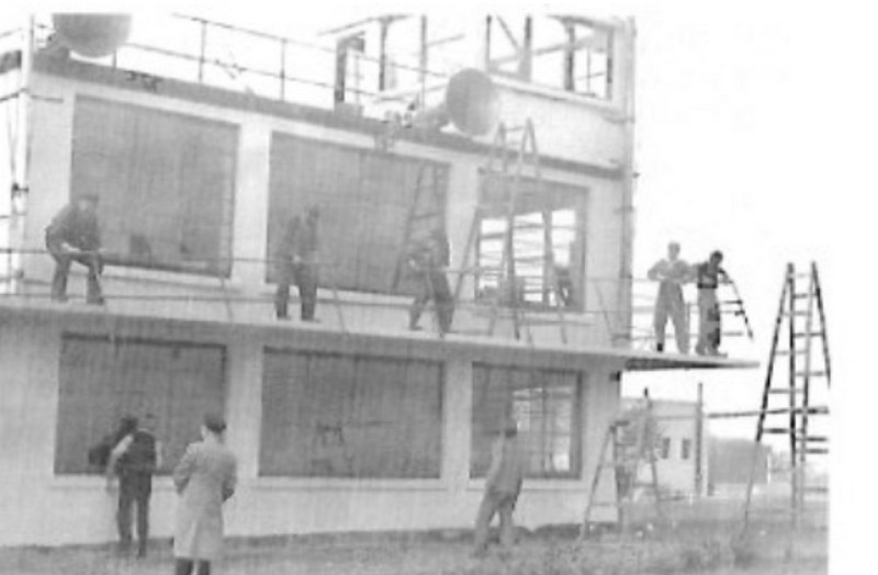
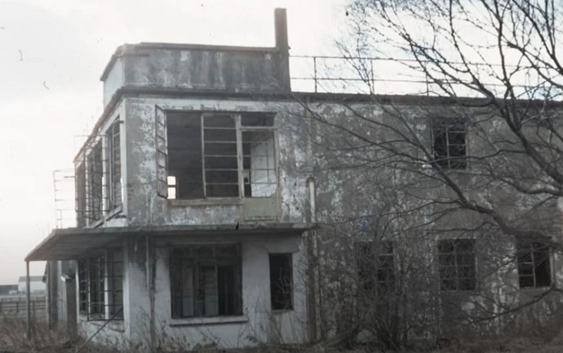
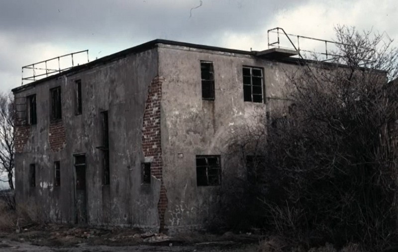
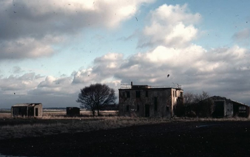
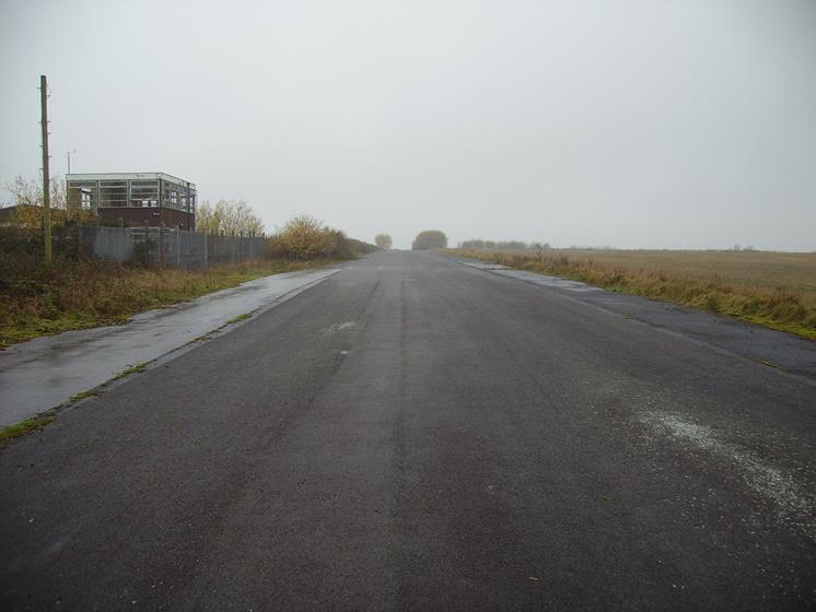
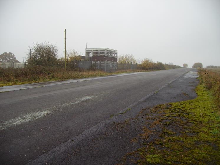
3 Miles SE of Warrington OS/Ref SJ652825 Height ASL 220 ft Opened 1st of June 1942 Closed 4th of November 1958 Planned as an RAF airfield but later transferred to the Admiralty on completion. 2 Control towers were constructed. The first control tower watch office for fighter satellite stations 3156/41 The second control tower type was watch office for all commands drawing number 12779/41
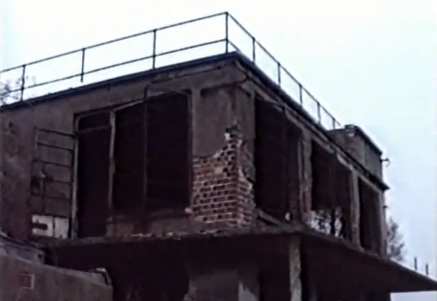
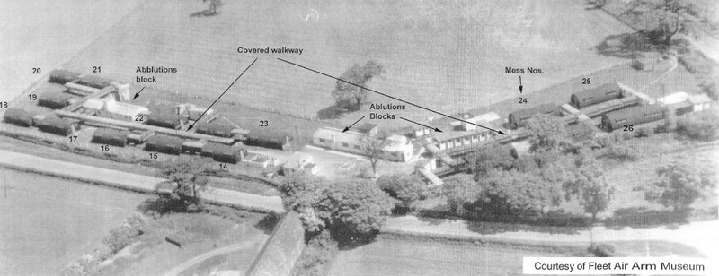
1 Camp Cinema 2, 3, 4, 5, 6, Five huts Were used as Petty Officers living quarters, the ablutions had showers, toilets, and washbasins and were linked by a corridor to the living quarters. 7 Mess President 8 Petty officers Mess 9 Coal Compound 10 Church of England Church 11 Slops 12 Tabacco Issue 13 Regulating Mess 14 Regulating Office/ Guardroom 16 Rum Store 17 Guardroom 18 Police Office 19 Dining room, A 20 Gally 21 Navy, Army, and Air Force Institutes [NAFFI] 22 Dining room, B 23 High-level steel tower Braithware water tower HMS COURAGEOUS SITE- (Credit to the fleet air arm museum)
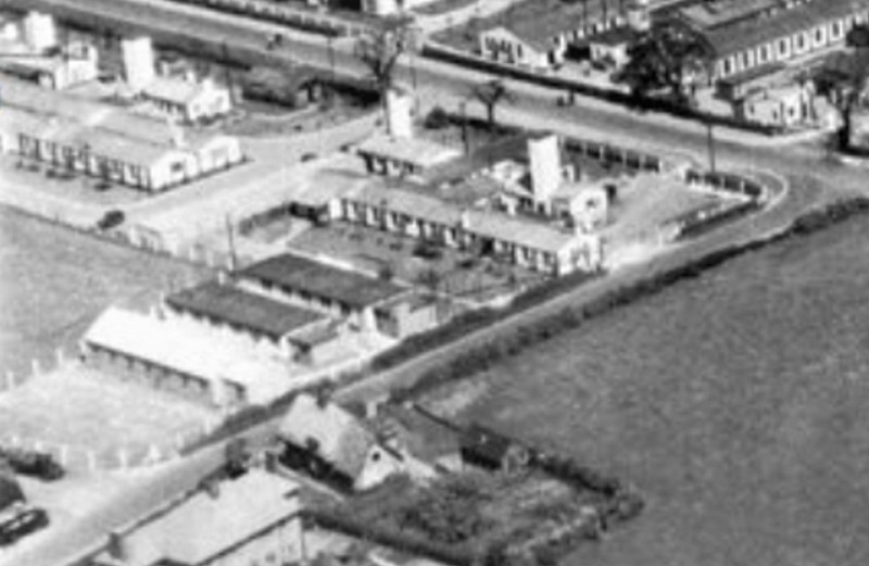
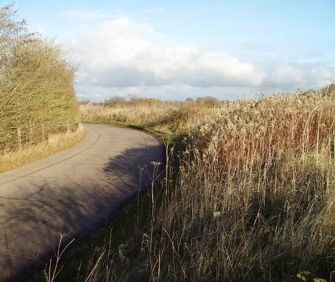
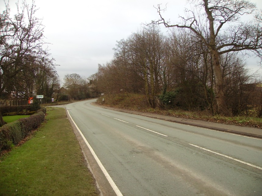
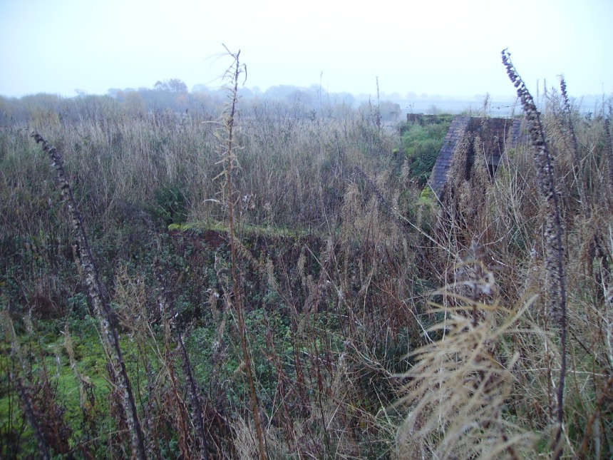
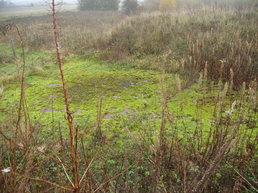
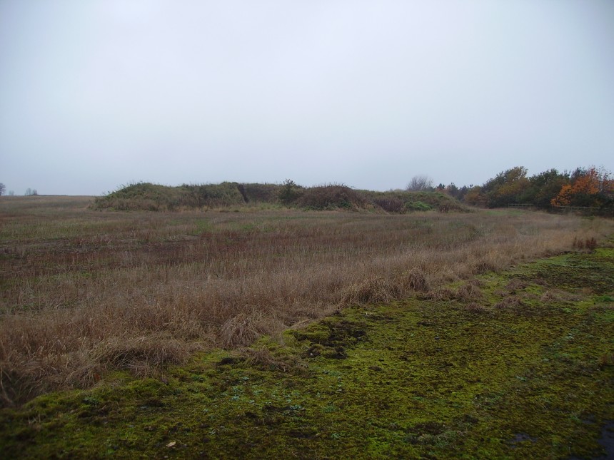
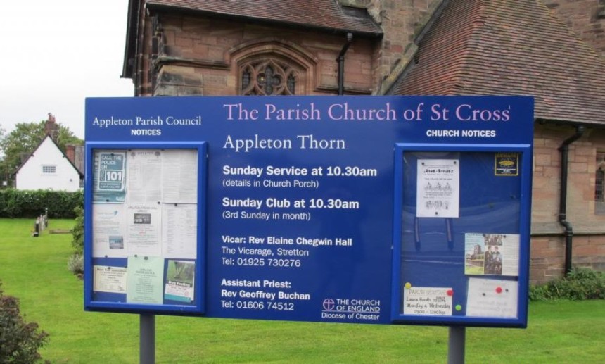
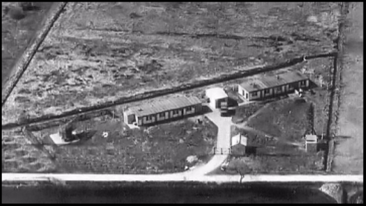
HMS Courageous site was located on Pepper Street at the junction of Stretton road. The accommodation was provided for 300 personnel in Nissen huts the site also housed the station football and hockey teams. The recreation pitches can be seen on the bottom right of the photo also the buildings on the top left are for the civilian workers HMS EAGLE SITE- (Credit to the fleet air arm museum)
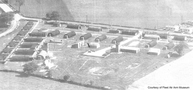
HMS Eagle was located between Yew Tree Lane and Crofton Close and connected with the back of the Ark Royal site. There was also an entrance to it from Grappenhall Lane. The accommodation was provided for 250 personnel in Nissen huts, and also a covered walkway connected the ablutions with the Nissan huts. HMS HERMES SITE- (Credit to the fleet air arm museum)
HMS Hermes site was located on the opposite side of Arley Road where Ark Royal site is. The site had accommodation for 100 officers, the chief petty officers’ mess and quarters wardroom, ablutions, and separate dining rooms for the NCOs and the officers from the other ranks. HMS GLORIOUS SITE – (Credit to the fleet air arm museum)
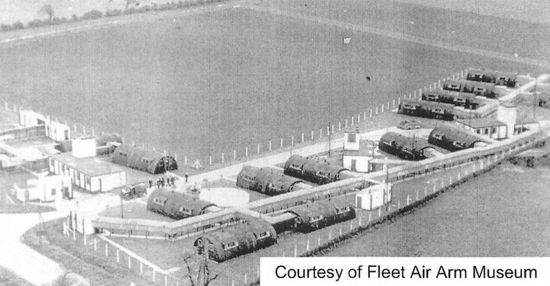
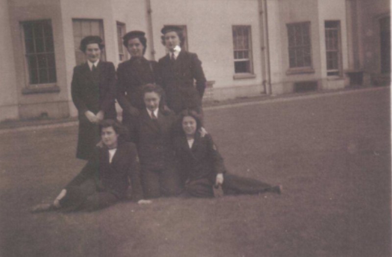
HMS Glorious site was located between Lumb Brook Road and Thorn Tree Green near the Thorn Inn public house. The accommodation was provided for 400 personnel in Nissen huts a covered walkway connected the ablutions with the Nissen huts. Women’s Royal Naval Service [WRNS] Accommodation WRNS Accommodation Grappenhall Heyes Hall
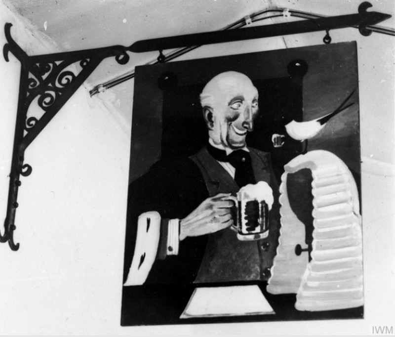
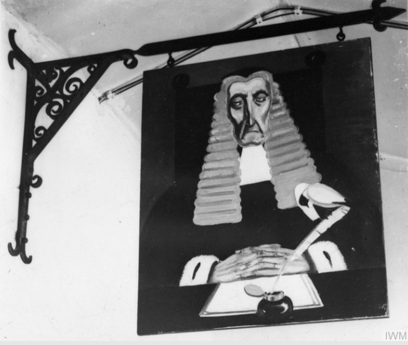
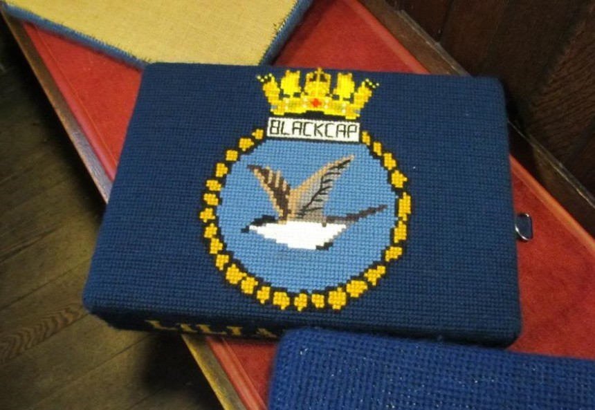
Blackcaps “INN” Sign 4th July 1944. HMS Blackcap Reproductions of Doris Zinkeisen’s Old English Style Sign For The Wardroom. Both Photos Below Credit IWM.
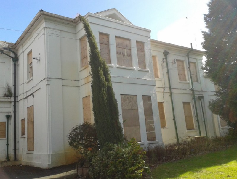
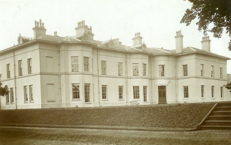
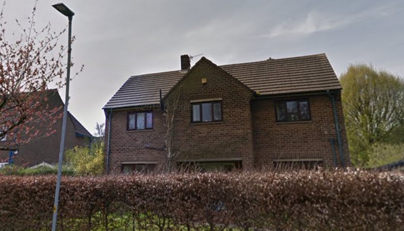
Married Quarters Housing. During the 1950s the Admiralty decided to build 100 houses that were built at Appleton which was local to RNAS Stretton. Some of these houses were built for the Married Quarters of all Ranks Houses in Dale Lane and Wood Lane were occupied by the Officers, and other ranks lived in houses at Bridge Lane. Most senior officers found private housing accommodation within the surrounding area. Former officer’s housing at Dale Lane Appleton.
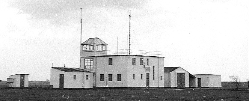
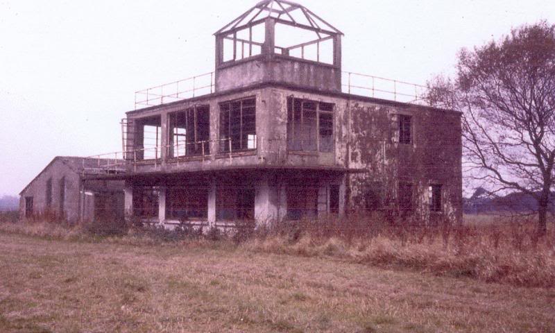
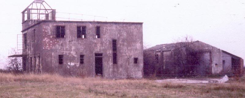
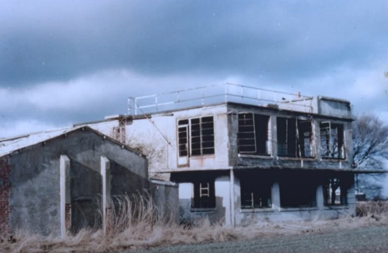
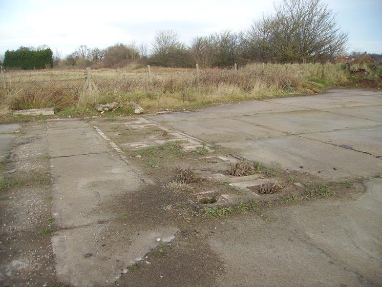
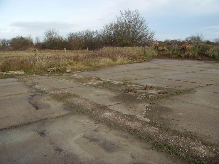
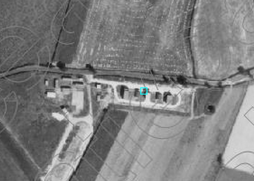
To the left of the watch office is the rear of the crash fire tender house, constructed to air ministry drawing number 7829/41
The small building to the right of the watch office is the Meteorological weather balloon filling hut.
To the right of the watch office is the front of the crash fire tender house, constructed to air ministry drawing number 7829/41, it appears to have had an added lean-to at the side built at some period.
To the right of the watch office is the crash fire tender house, constructed to air ministry drawing number 7829/41. To the left of the watch office next to the tree is the Meteorological weather balloon filling hut. The building far left is a Latrine constructed to air ministry drawing number 9026/41.
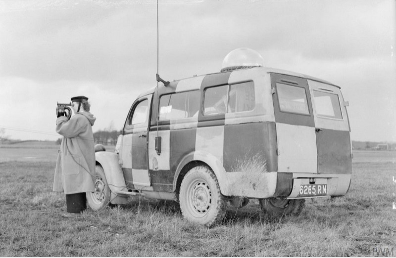
Standing by the Runway Control Van on an isolated part of Stretton Aerodrome, Wren Jean Bull of Glasgow flashes the “Take-off” signal to the pilot of an aircraft. The van which is in radio communication with the main control tower is stationed at the end of the runway in use, and from it, the traffic of aircraft on to and off the runway is directed. Photo Below From ‘Geoff’ a Fellow WWII Enthusiast
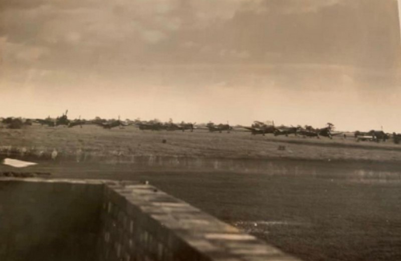
This is the message we received from ‘Geoff’ regarding his Mum “Hi, I’ve been researching my mother’s life as a Wren. In 1944 she was at HMS Blackcap working in aircraft radios. We have this photo of The aircraft at Stretton. I can’t make out what they are? Thought you might like the photo.” ‘Geoff’ Public open day program.
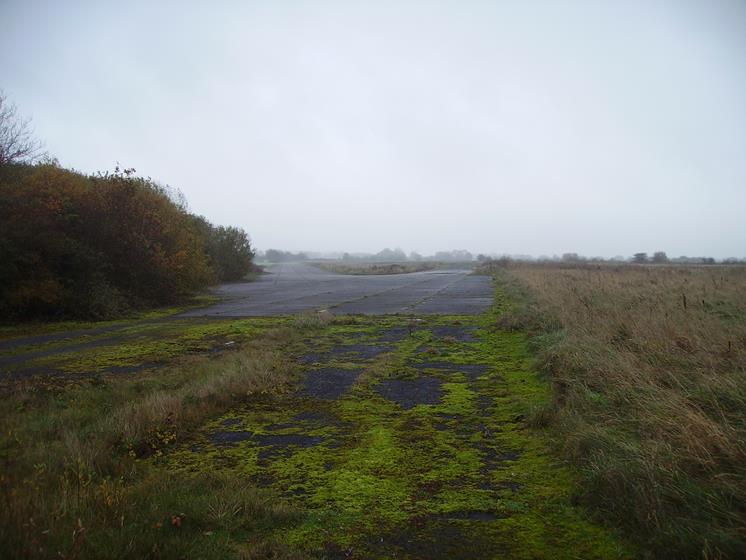
RNAS HMS Blackcap South Extension Taxi-Way Looking West Quite Near To The End of The Main Runway 28 This Taxi-Way Was Added Later & We Aren’t Sure Why? If Anyone Knows Then Please Contact us at: [email protected]
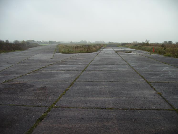
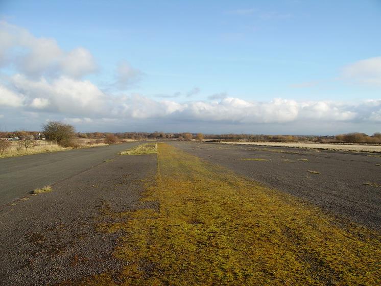
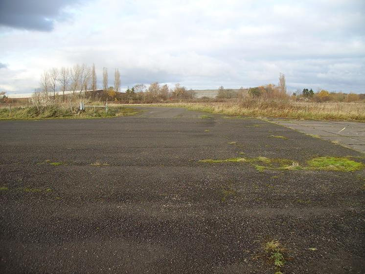
The Top of Runway 10 Looking East Down The Main Runway (There is a White Cross on The Left Just Over The Barriers) The White Cross Simply Means ‘Runway Closed’
This is The Original North East Taxi Way (on the right) To The Left of The Island (in the middle of the photo) is The Later Extended North East Taxi Way to the Head of Runway 28
This is Another View of The Original North East Taxi Way (on the right) To The Left of The Island (in the middle of the photo) is The Later Extended North East Taxi Way to the Head of Runway 28
This is Another View of The Original North East Taxi Way (on the right) To The Left of The Island (in the middle of the photo) is The Later Extended North East Taxi Way to the Head of Runway 28
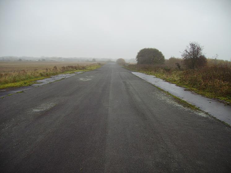
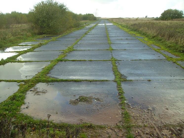
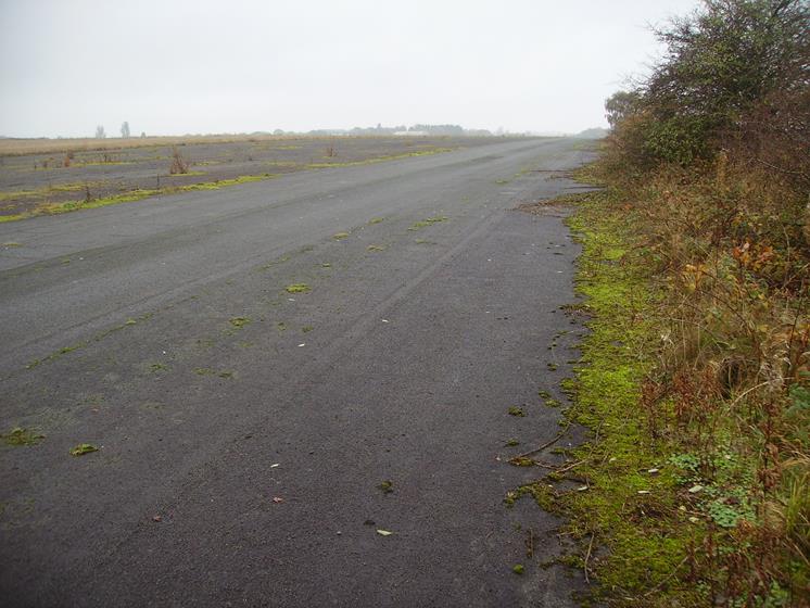
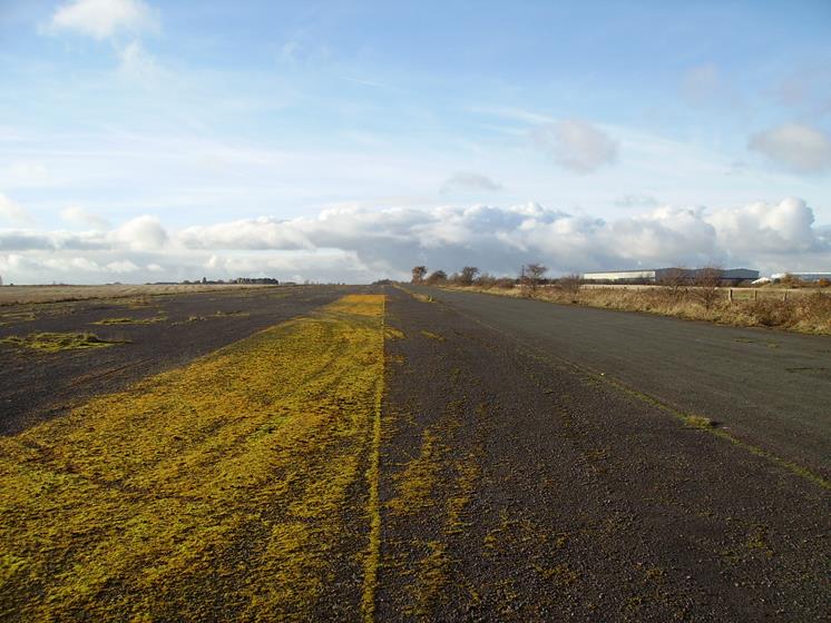
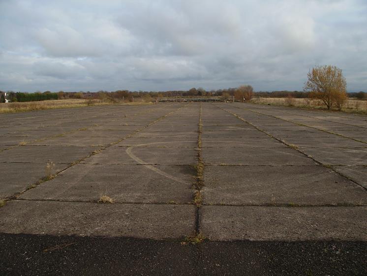
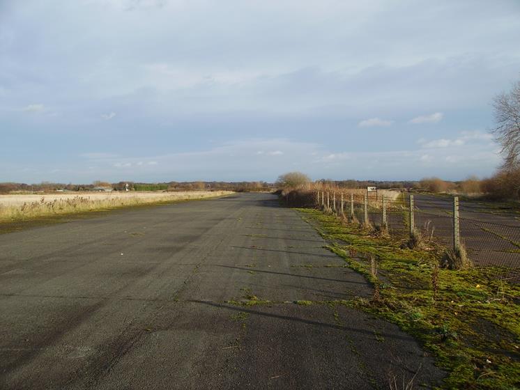
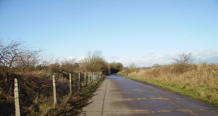
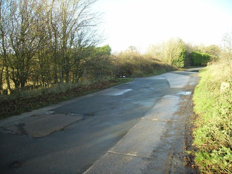
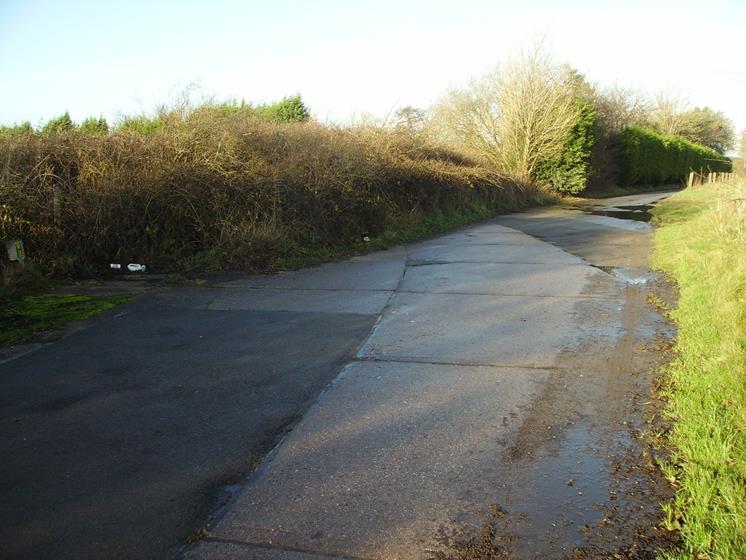
This is The South Taxiway Looking West (Please Note That the Head of Runway 34 is on the Right of The Photo)
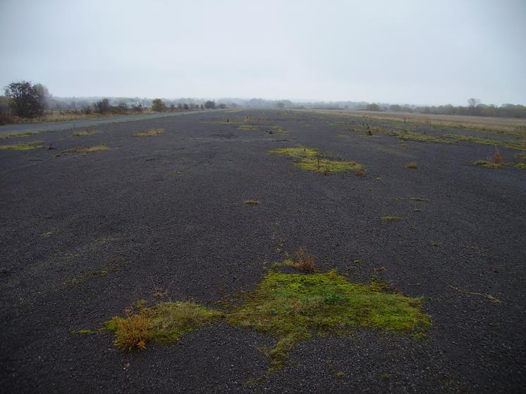
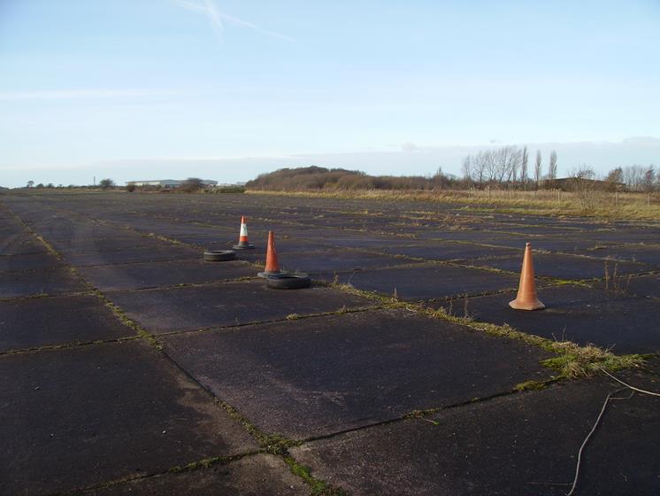
In The Foreground is The South Taxi Way (Going Left to Right on the Photo) In The Background is Runway 34 Runway 34 Runs North-Westerly Across the Airfield You Can Just See The White Cross on Runway 34 The White Cross Simply Means ‘Runway Closed’
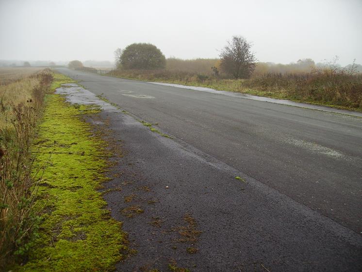
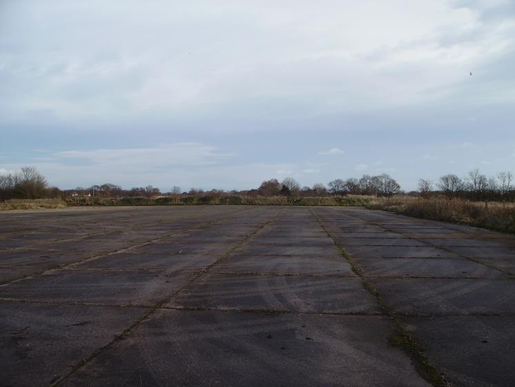
This is The South Taxiway Looking West The Building on the Left Was Used By Shell Research When Being Used as a Test Track
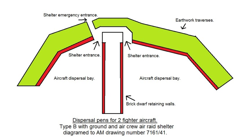
Dispersal Type ‘B’ Pens for 2 x Fighter Aircraft Situated on the Threshold of The North East Taxi-Way (Now Demolished Within The Undergrowth)
Intersection of the Original North East Taxi-Way at the Original Head of Runway 28 (Please Note: The Concreted Area to the Right is The Added Main Runway 28 Extension)
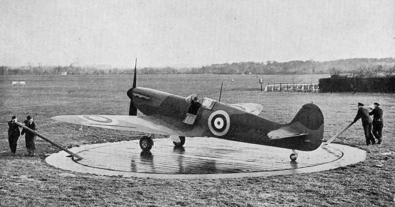
Extension (the end) of Runway 28 – This We Think Has Something to do With ‘Dummy’ Deck Practice Landing?
Another View of the Extension (the end) of Runway 28 – This We Think Has Something to do With ‘Dummy’ Deck Practice Landing?
Another Close-Up View of the Extension (the end) of Runway 28 – This We Think Has Something to do With ‘Dummy’ Deck Practice Landing?
The East (Extension) Taxi-Way at the End of the Main (Extended) Runway 28 The Main Head (Extended) of Runway 28 is Just Over the Fence on The Left The Earthed up Banking Shown Here on the Right has Reduced The Original Taxi-Way to Half of it’s Width
(Photo 1) The East Taxi-Way Swinging North West You Can See Quite Clearly The ‘Swing’ of the Taxi-Way (Especially on Photo 2)
(Photo 2) The East Taxi-Way Swinging North West You Can See Quite Clearly The ‘Swing’ of the Taxi-Way
North of the Airfield is the VHF Homing Beacon It has a concrete roof supporting a wooden lattice tower and access ladder that allows for gaining access to the radio antenna. The homing beacon was used as an aid for returning aircraft to locate the airfield.
Amazingly, the Homing Beacon Lattice Tower is Made of Wood and is Still in a Well Preserved State as You Can See
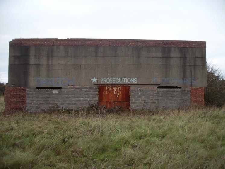
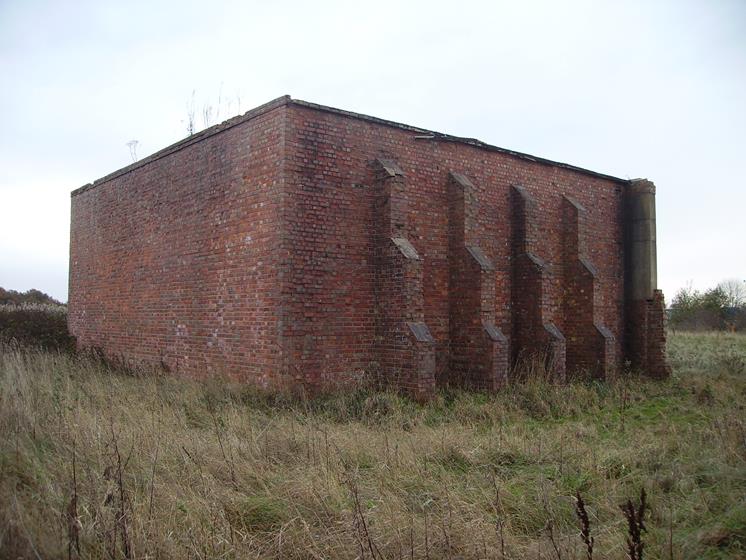
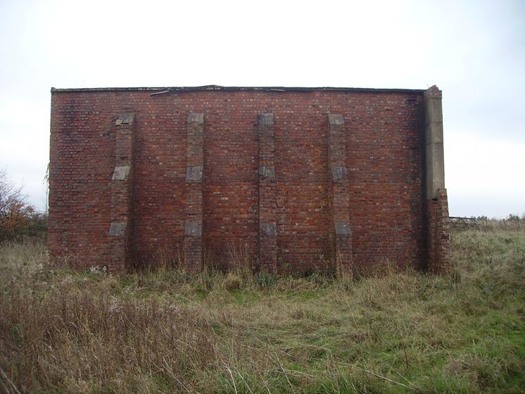
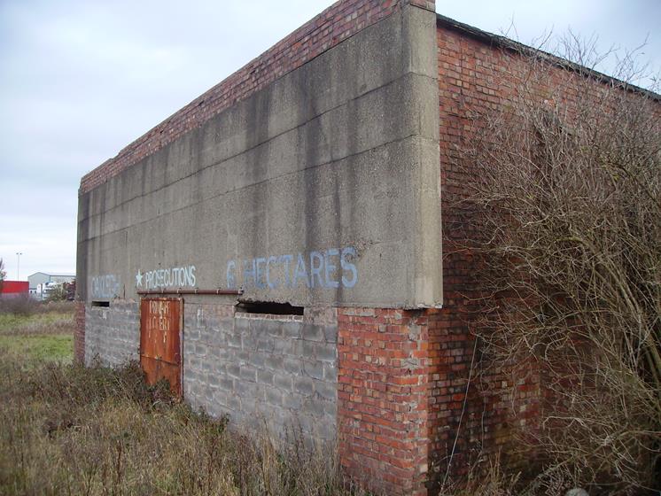
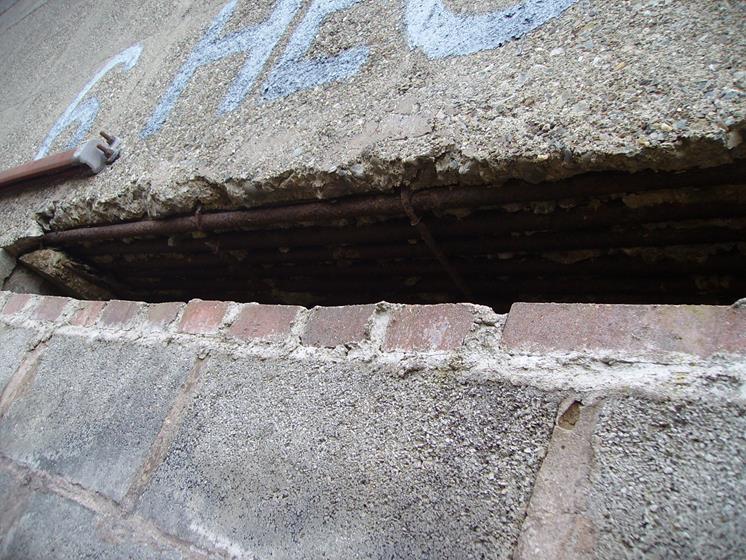
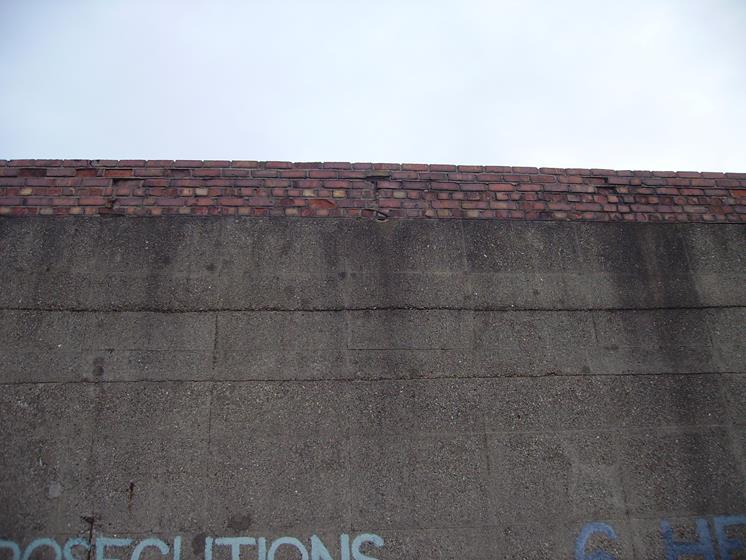
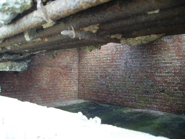
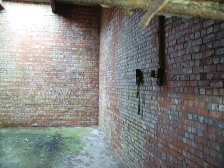
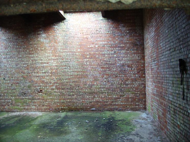
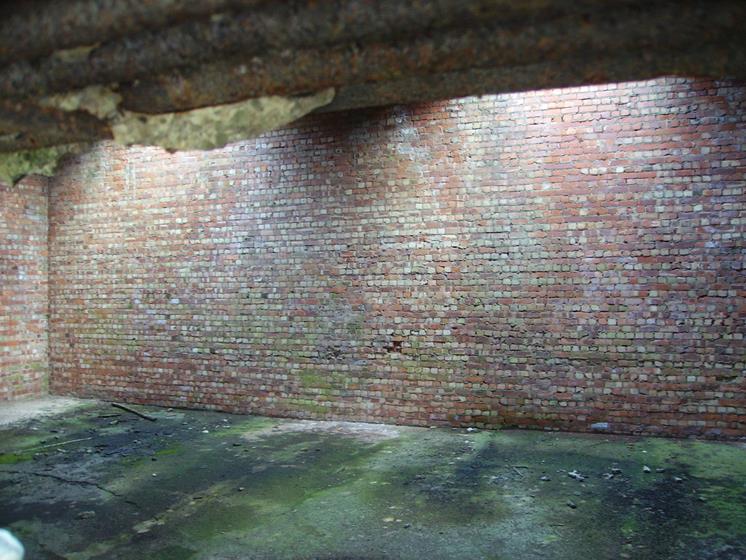
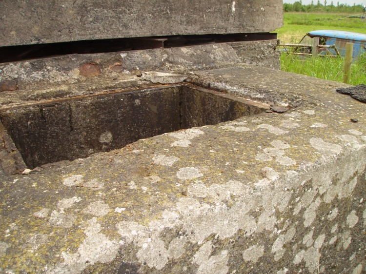
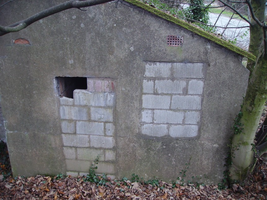
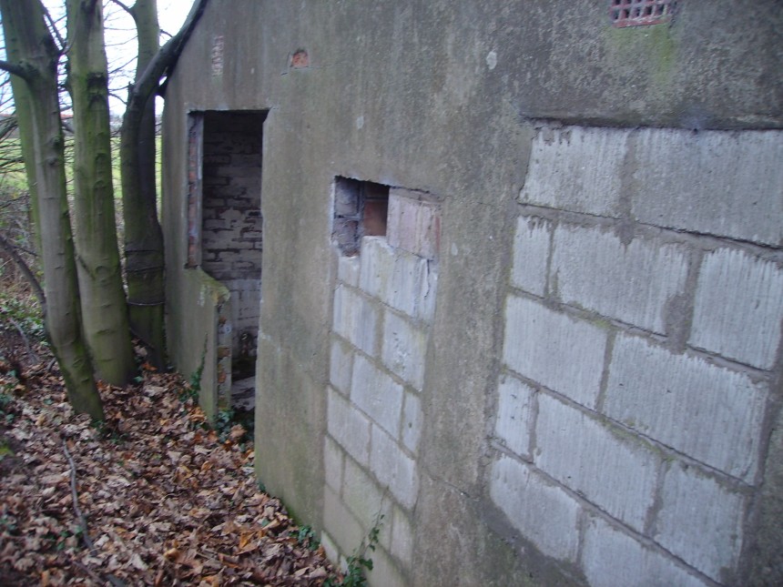
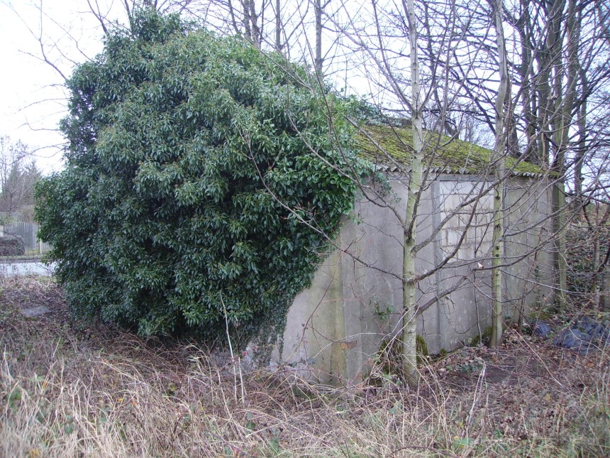
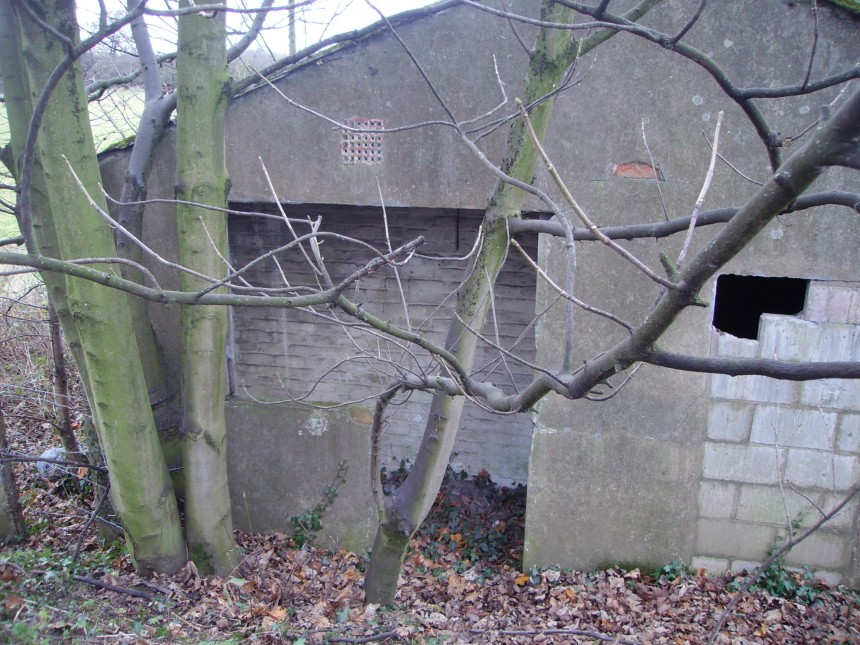
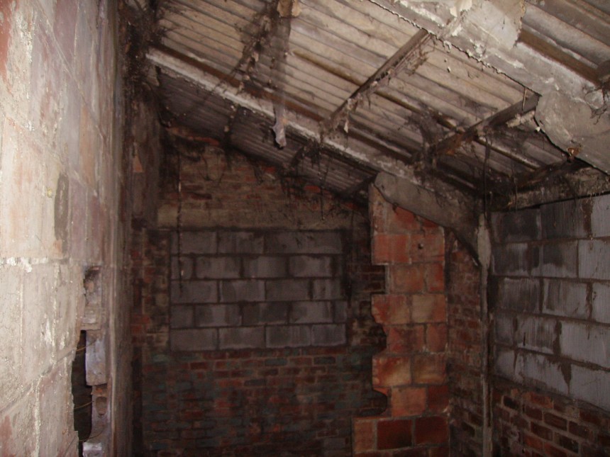
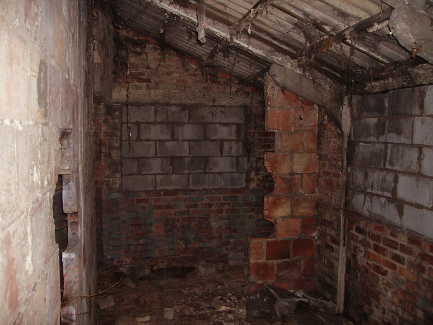
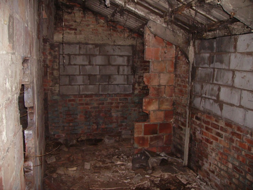
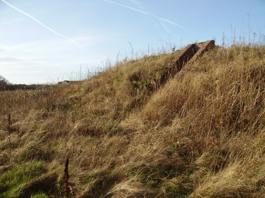
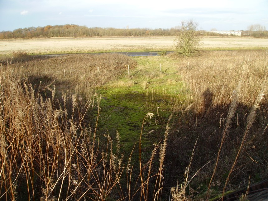
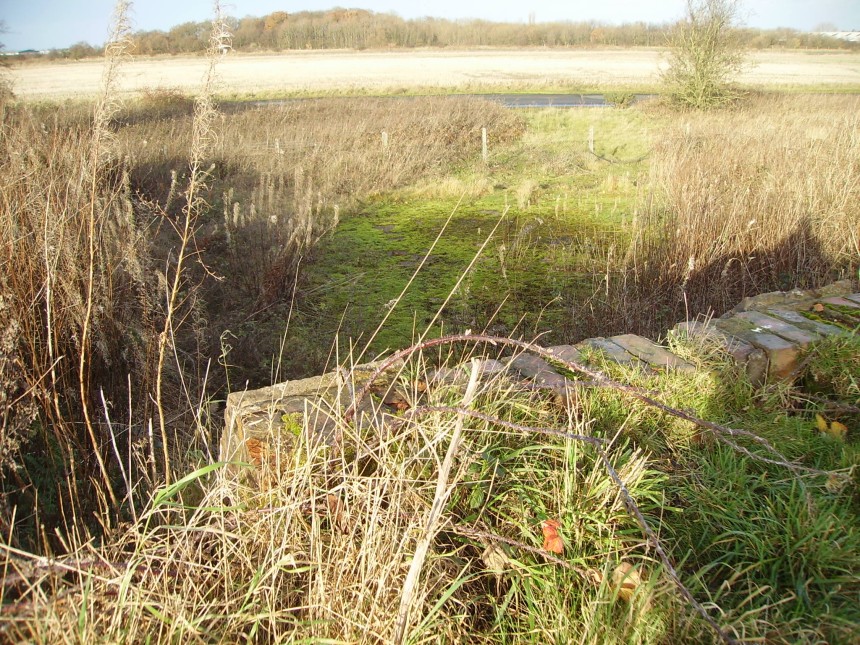
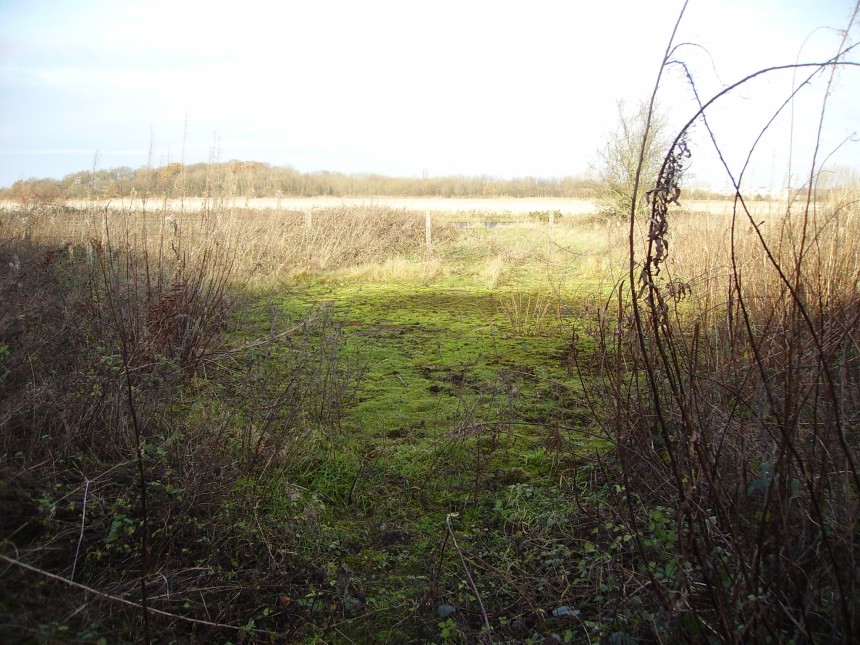
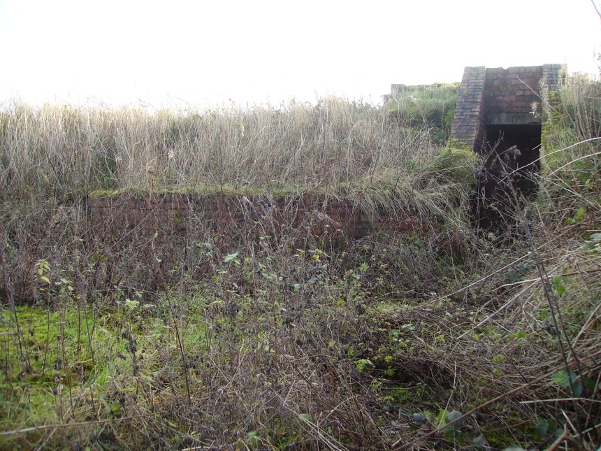
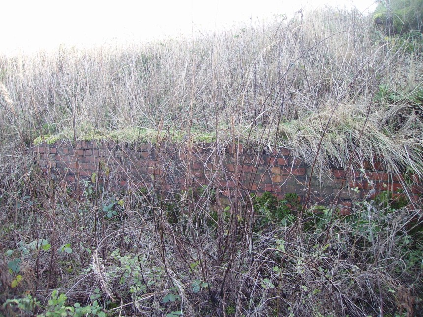
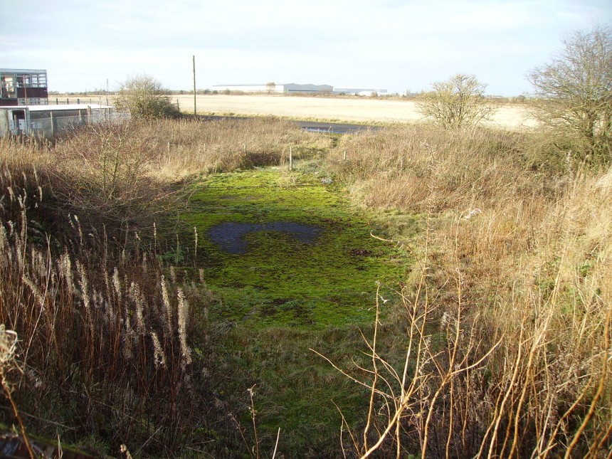
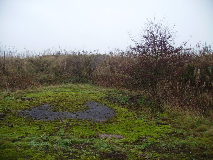
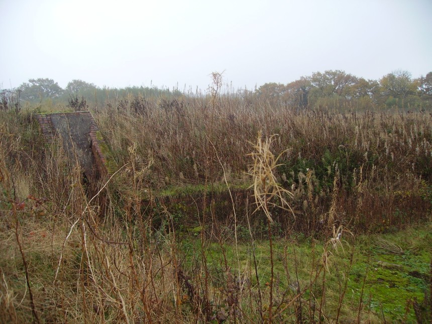
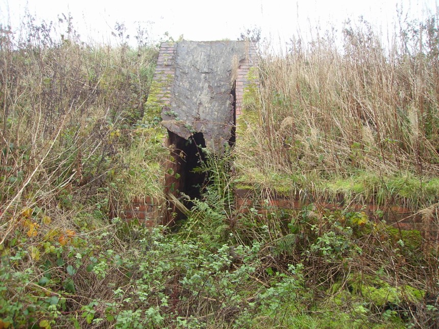
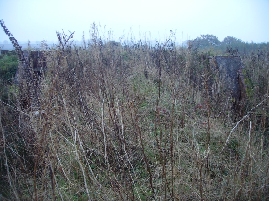
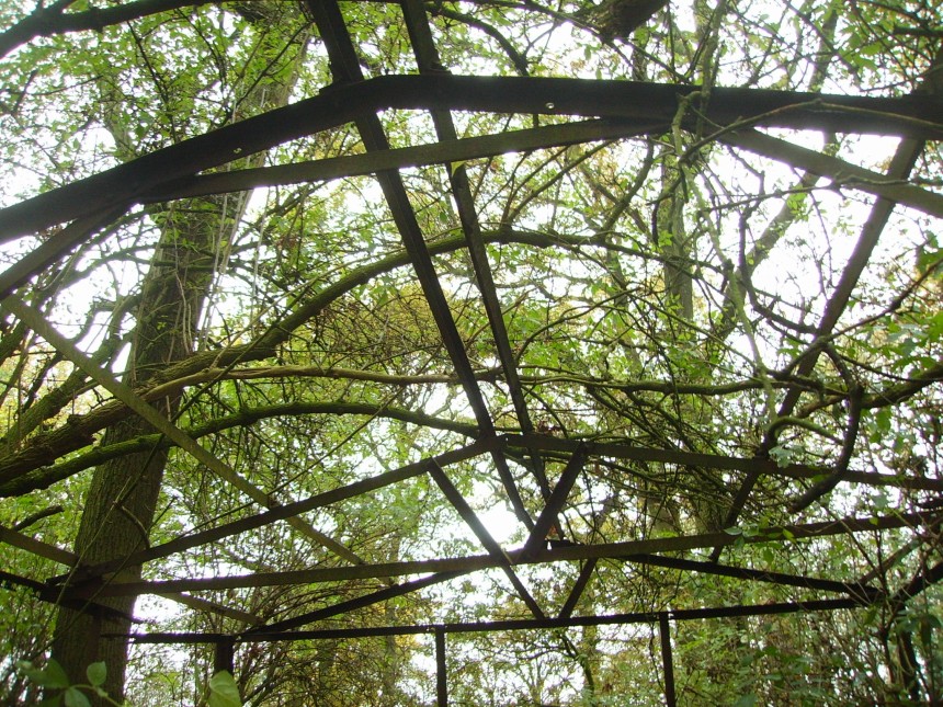
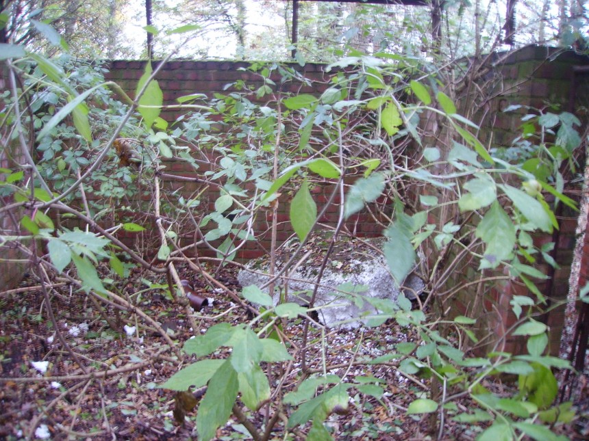
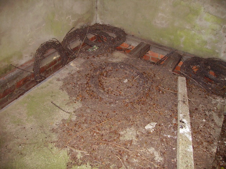
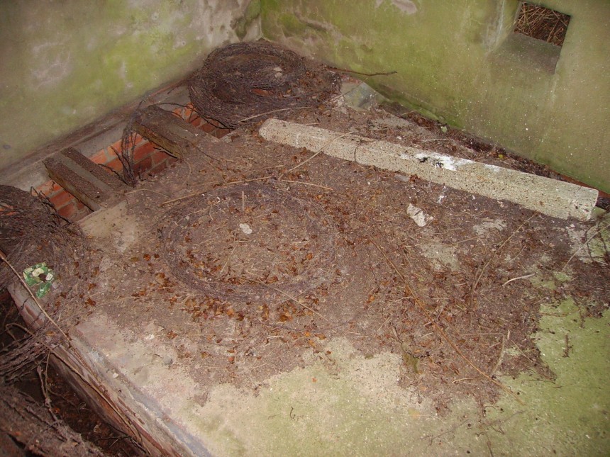
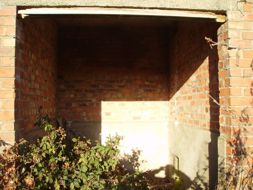
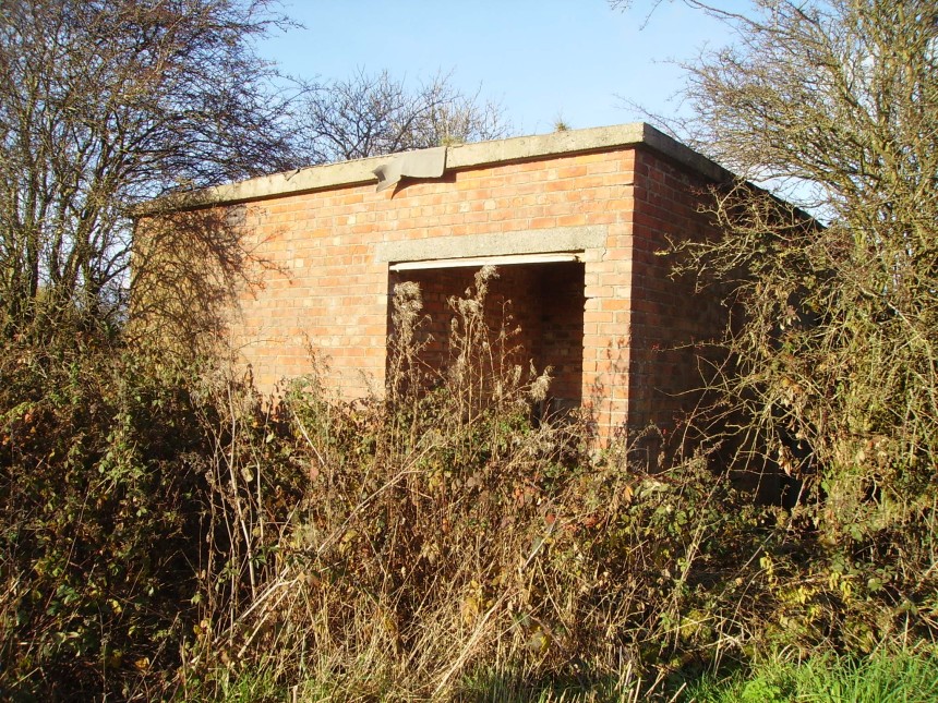
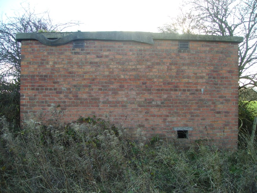
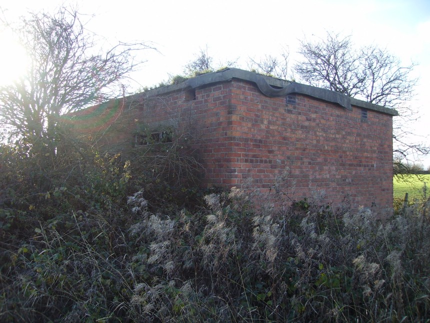
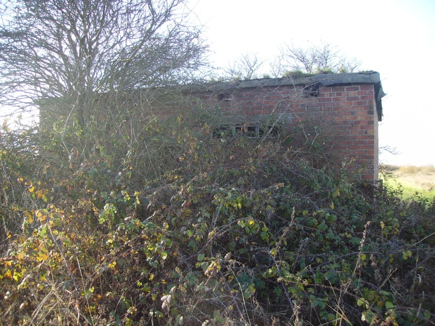
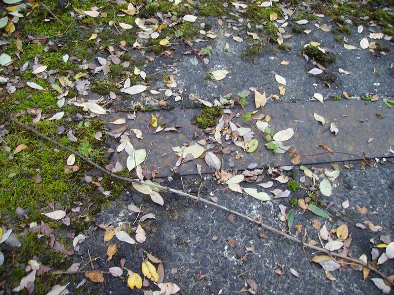
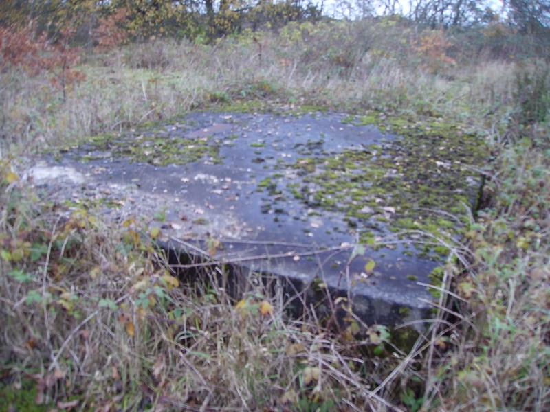
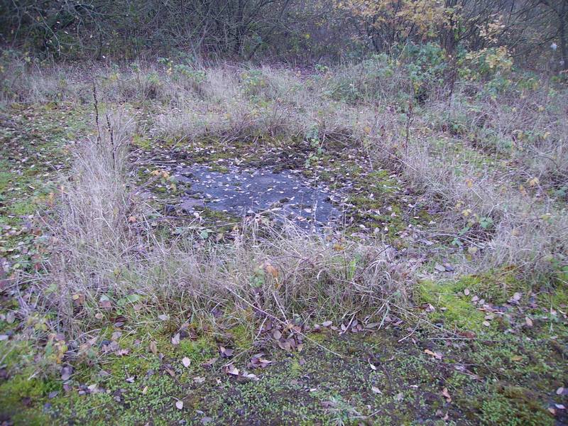
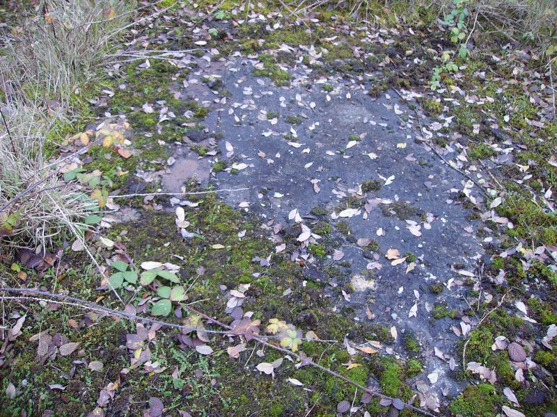
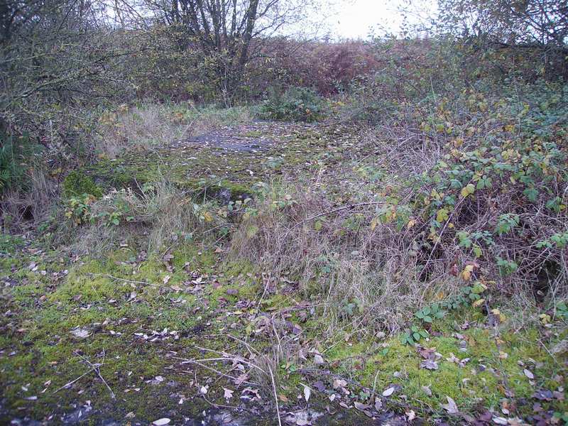
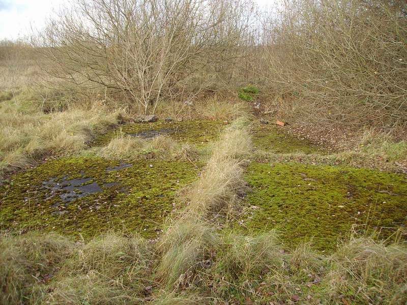
Machine Gun & Cannon Aircraft Test Butt DRG Number 16461/41 A shooting in butt for aircraft with installed guns. A tail trestle was put in position to raise the aircraft to the normal flying attitude. Aircraft would test & harmonise their machine guns by blasting into a bank of sand at the rear of the butts. The blast of the rounds in the butt were dispelled through 2 roof apertures. A red warning flag was raised when the test butt was in use.
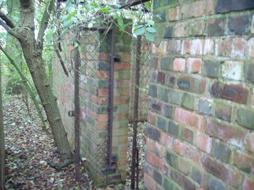
The newly bricked up blockwork is where the aircraft would fire their guns into. (Originally, on the left where the brickwork is, there would have been a small annex building)
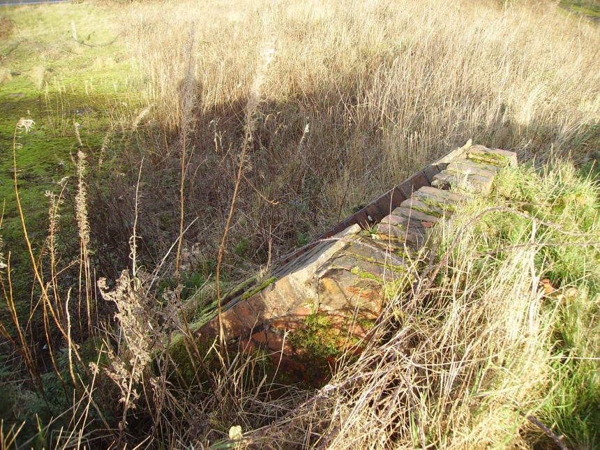
View of the inside showing the back wall of the gun butt. The back wall would have had huge sand banking to absorb machine gun and canon rounds. You can see the light coming in through the 2 apertures in the gun butt roof. These apertures were their to dispel the blasts of the rounds.
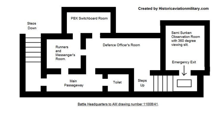
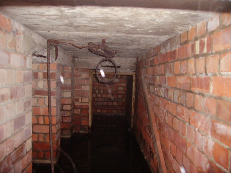
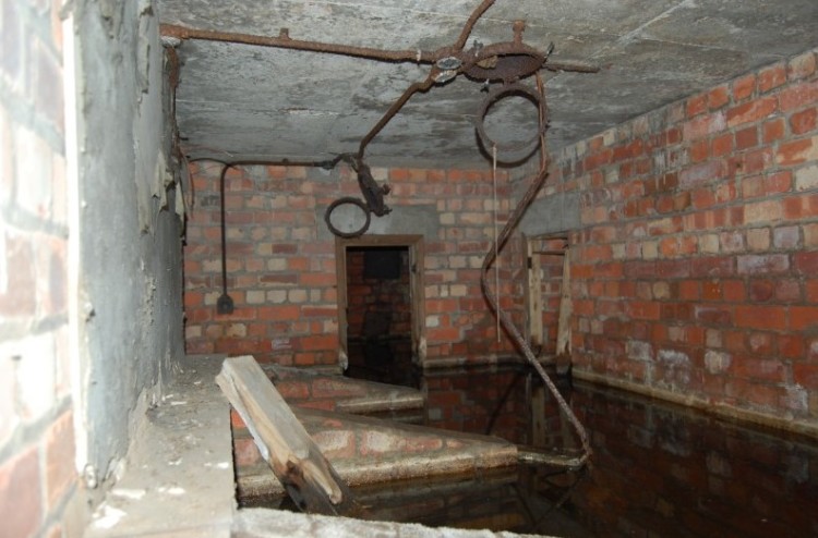
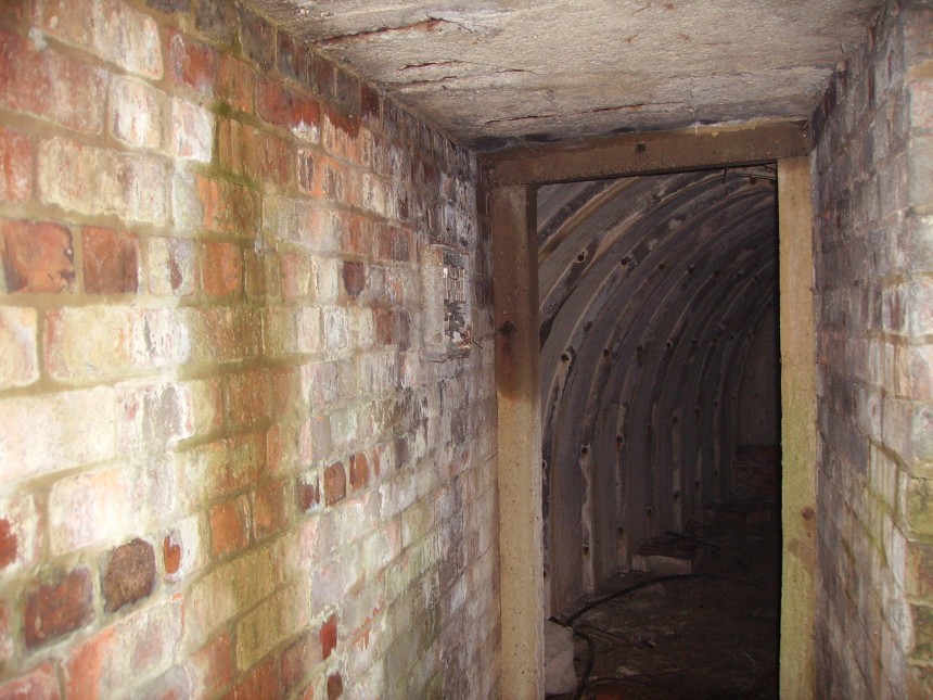
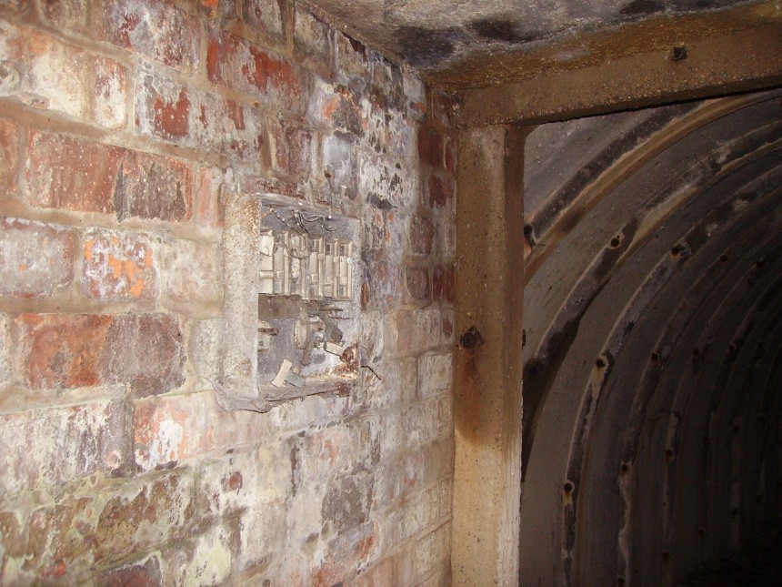
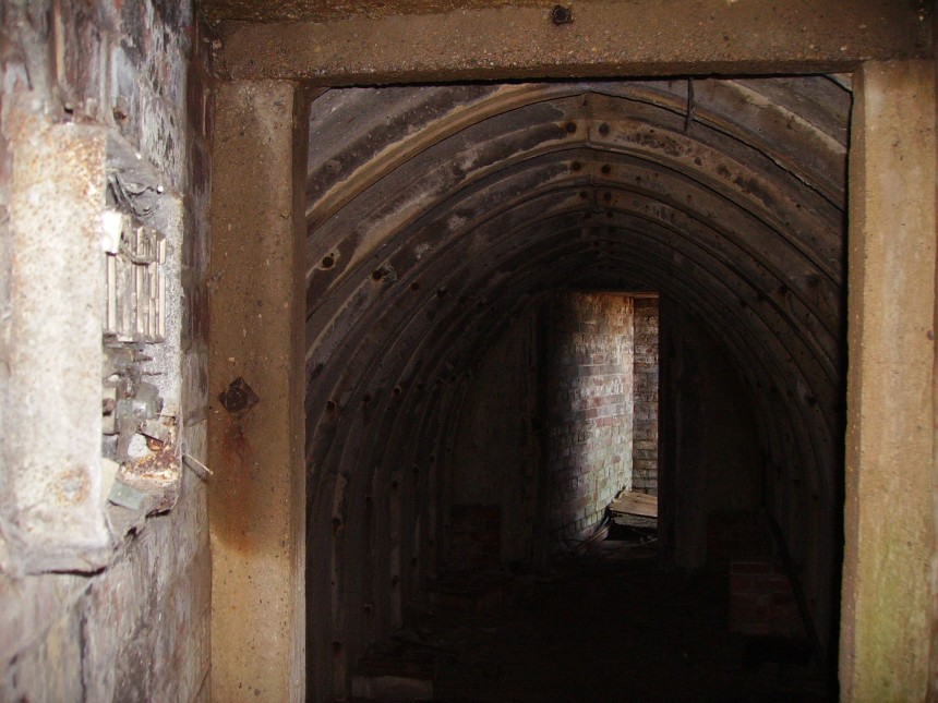
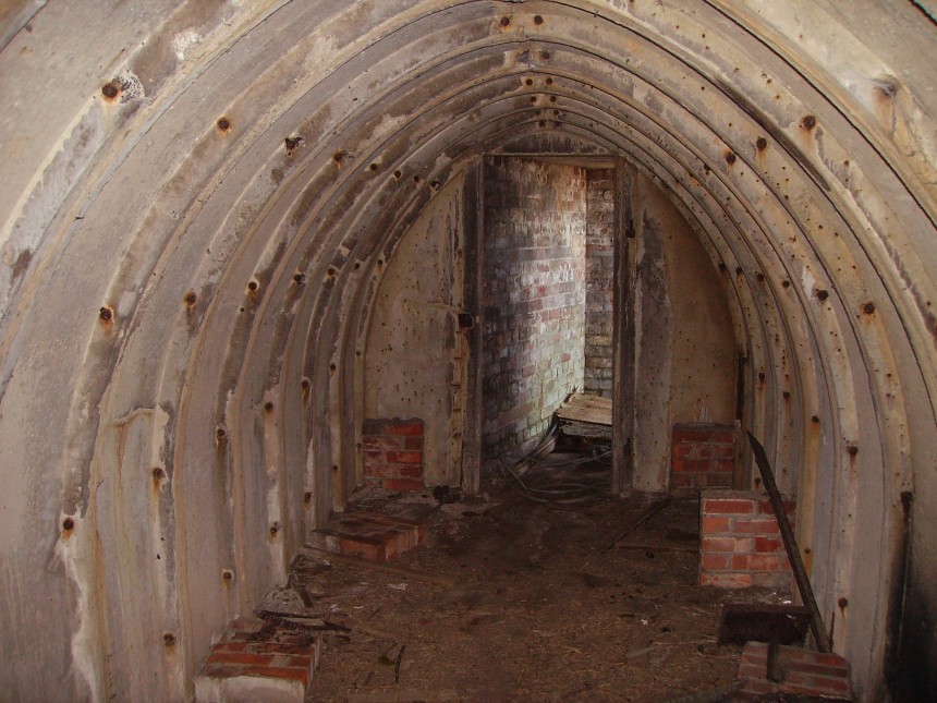
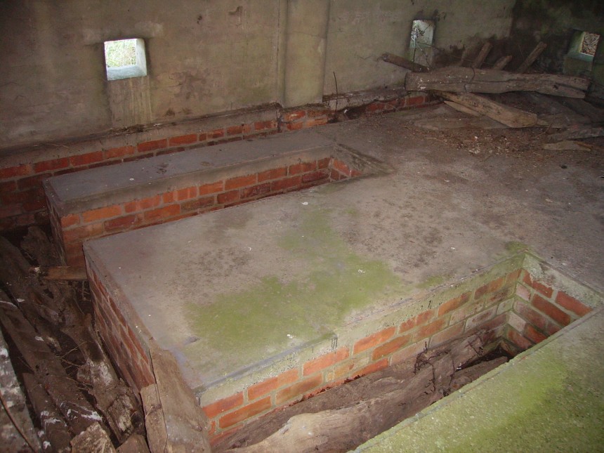
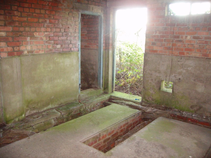
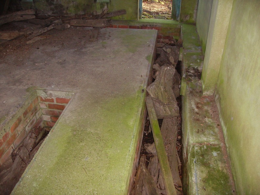
Main Passageway The 1st opening on the left is the ‘runners’ and messengers room. The 2nd opening on the left is the defence officers room. This room was the defence room and was used to coordinate the defence of the airfield. The opening at the end (facing you) is the (elsan) toilet room. You can still see the electrical conduit and bulkheads hanging from the ceiling.
The Defence Room (Photo taken from the steps down from the observation room) The opening on the left (where you can see the steel conduit and light switch) is the main passageway (main passageway is photo above) and the opening in the centre of the photo is the messenger’s and ‘runners’ room and the opening on the right is the PBX telephone/switchboard room. Almost all the rooms are flooded to about 3 feet when the photos were taken (25th of May 2014). The 3 sloping brick walls was the support for the plotting table. Hanging from the ceiling are the electrical steel conduits and what is left of the bulkhead light fittings.
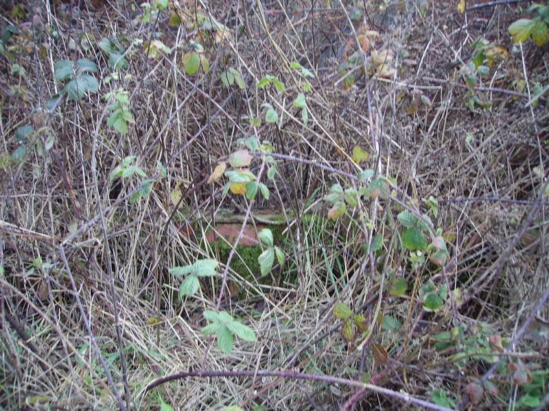
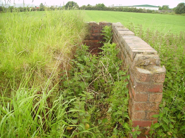
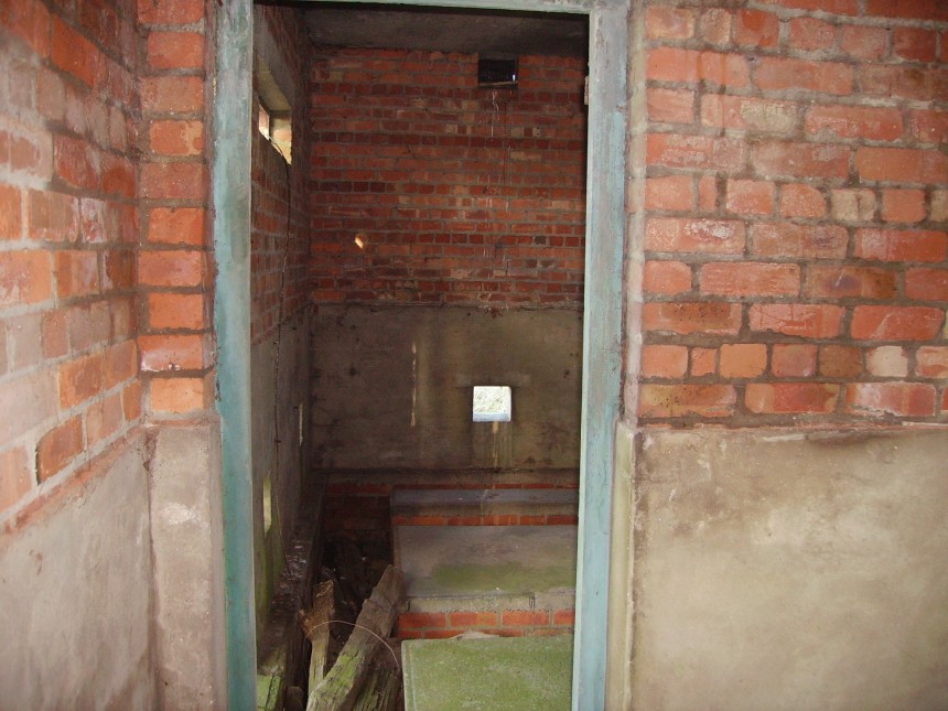
The Semi Sunken Observation Room with Reinforced Concrete Coupler & 360 Degree Viewing Slit. The small concrete square on the left is the emergency exit.
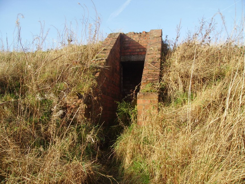
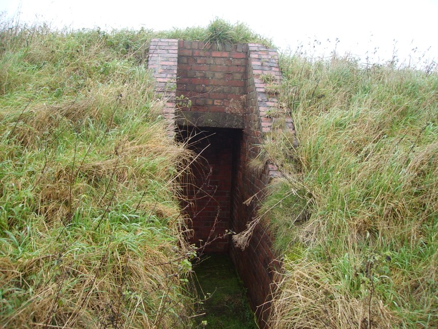
Emergency Exit Outside of The Observation Room Which Would Have Originally Been Fitted With a Steel Hatch
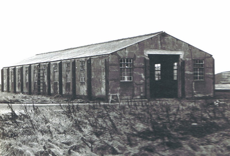
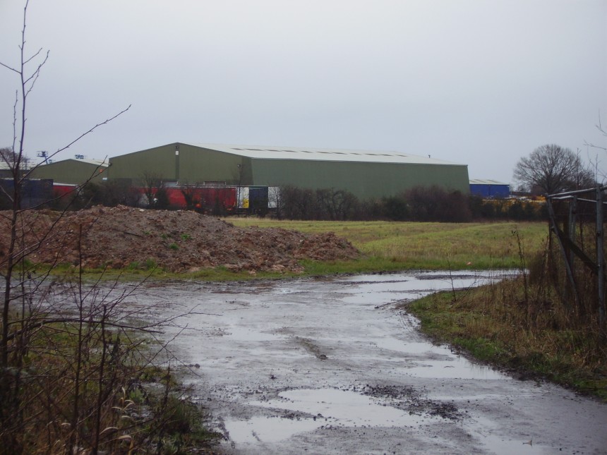
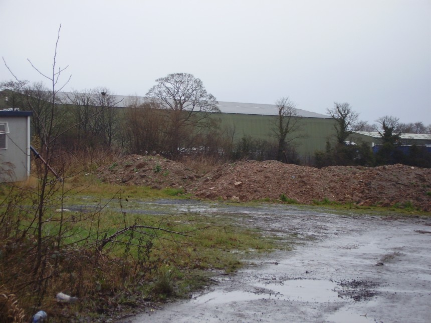
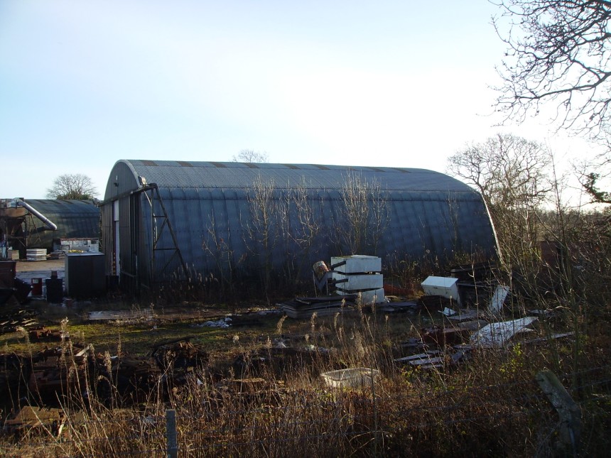
Fairey Aviation Aircraft manufacturers Fairey Aviation had 2 A1 aircraft maintenance hangars on the North East edge of the airfield for modification, repair and flight testing of Barracuda’s, Firefly’s & Fulmar’s. 1 of the 2 re-clad A1 hangars (photo 2013) built to drawing number 454/43
Fairey Aviation Compass Swinging Platform (Concrete Base) Drawing number 10936/41 The compass swinging platform was used to accurately adjust each aircraft magnetic compass
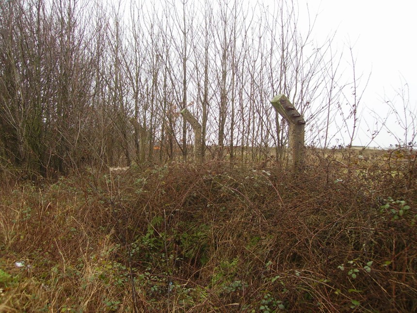
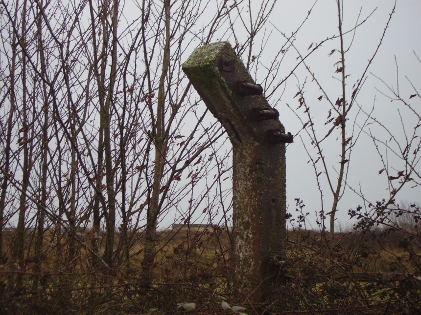
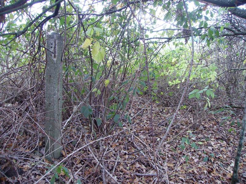
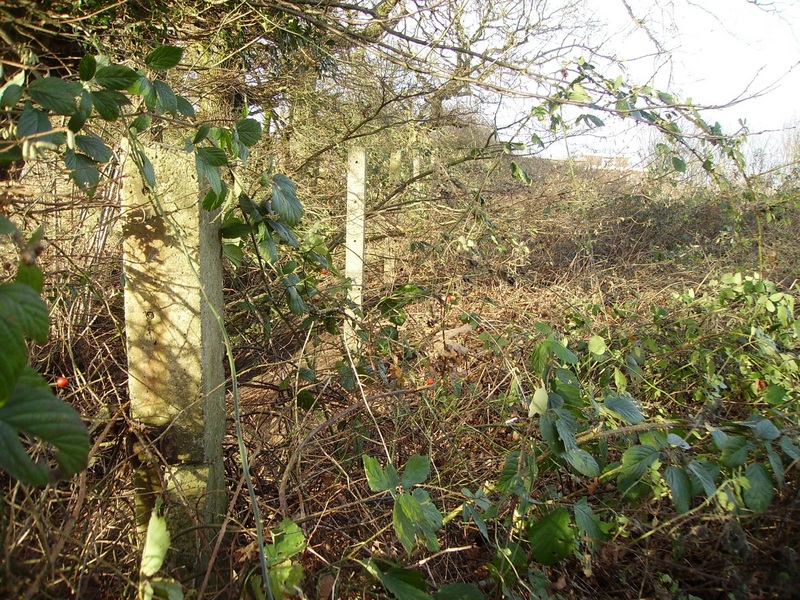
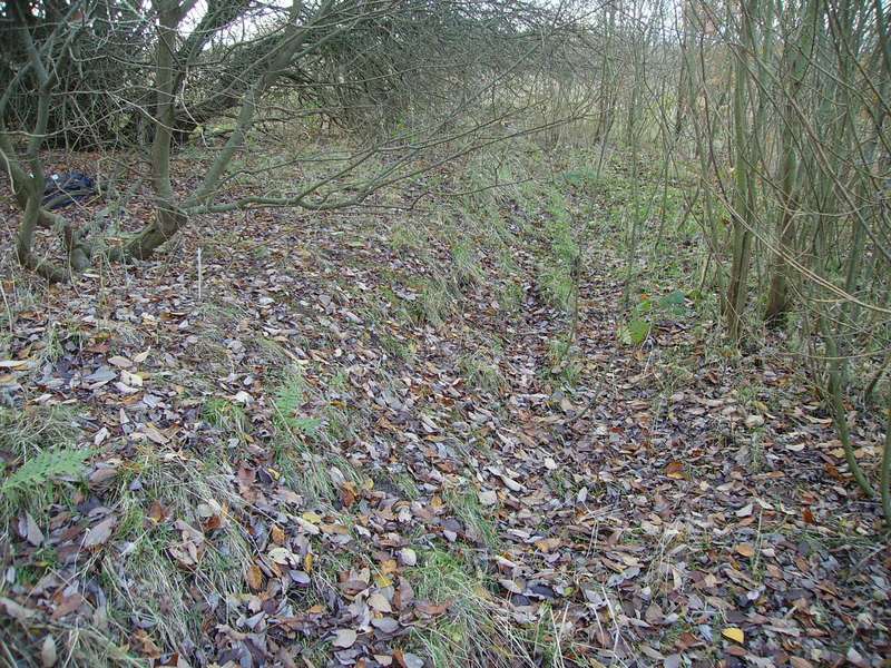
The Remains of the North East Perimeter Concrete Fence Posts The thickest post (in the foreground) has 4 ratchet strainers to tension the barbed wire through the other posts. These thickest posts are at each corner and are also spaced out at regular intervals along the length of the actual fence itself and wire mesh would have been fixed on the front (the face that is showing).
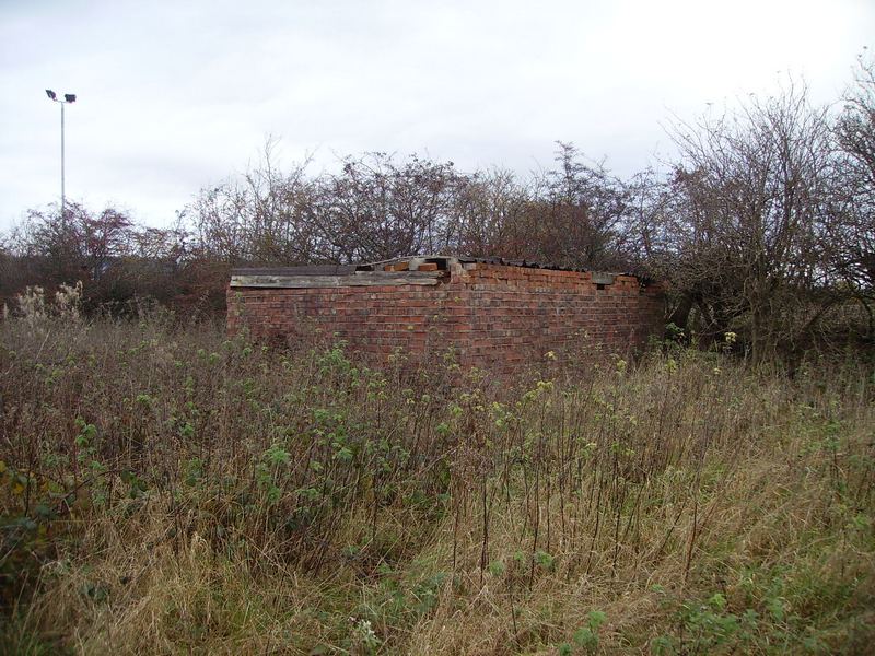
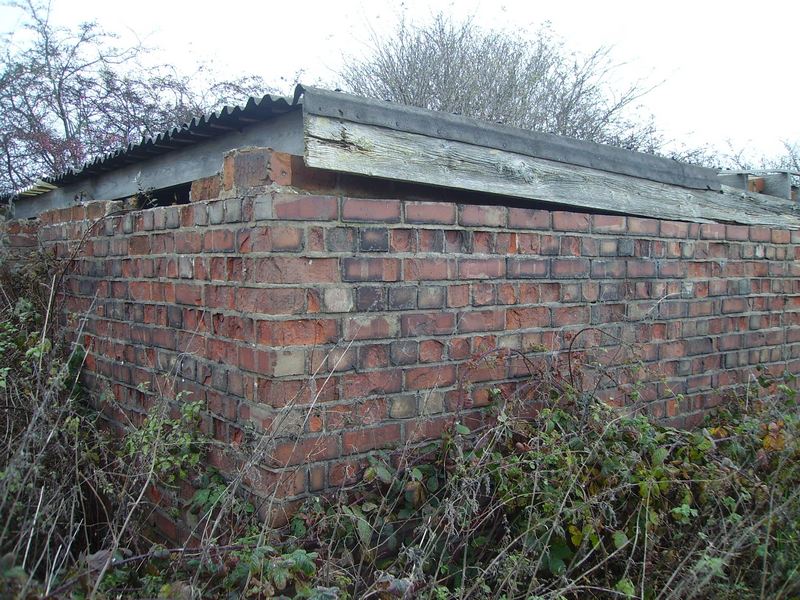
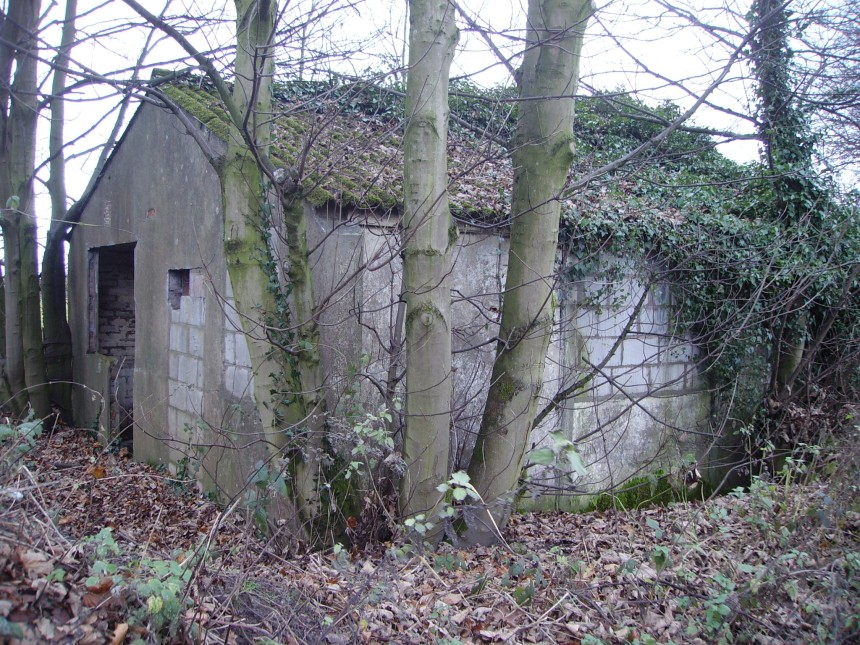
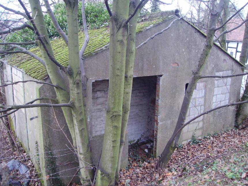
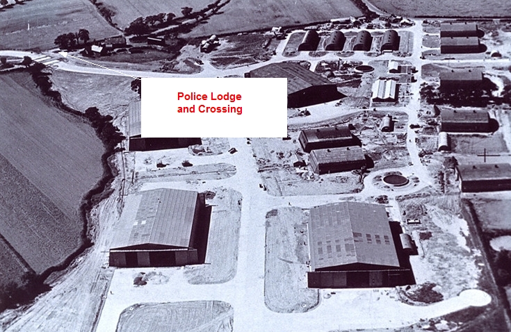
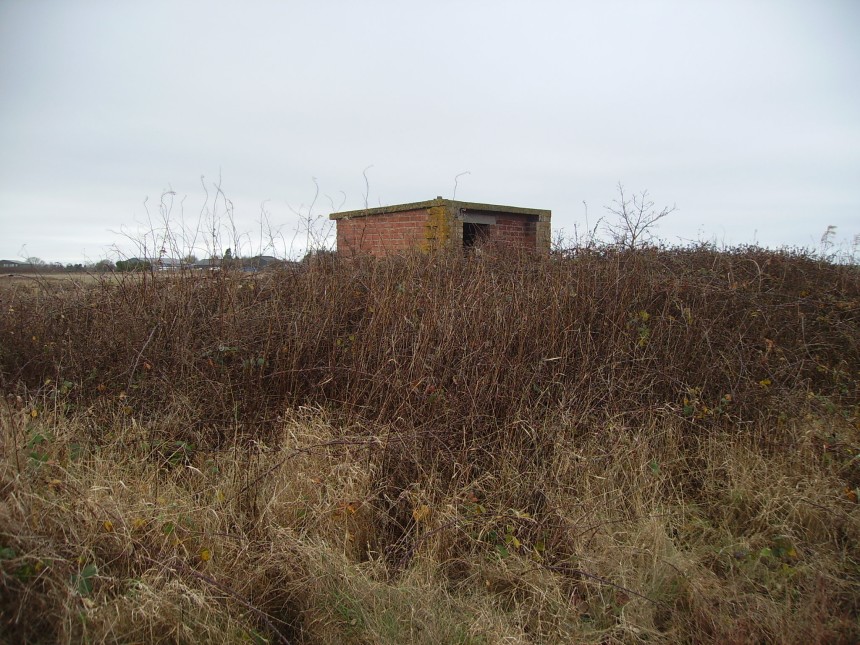
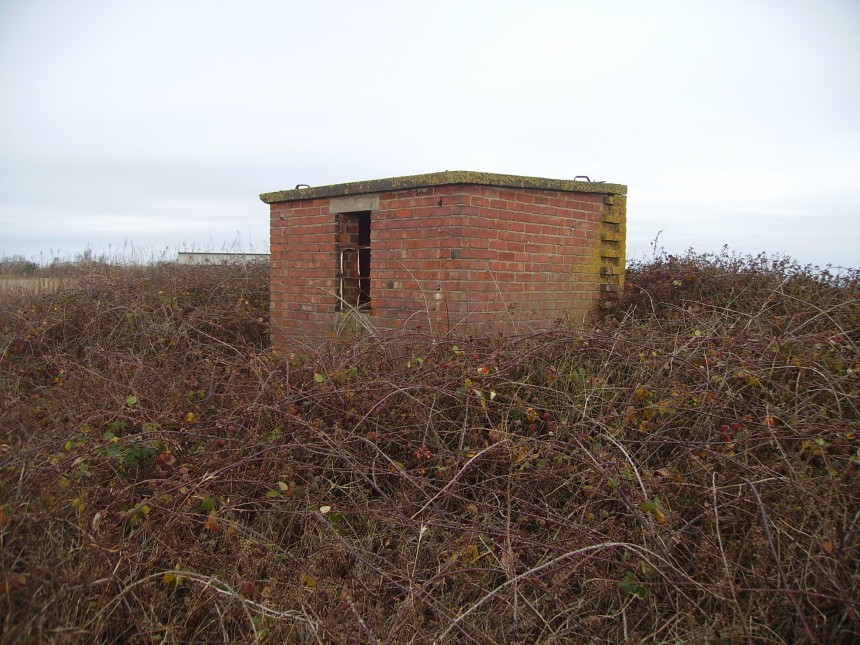
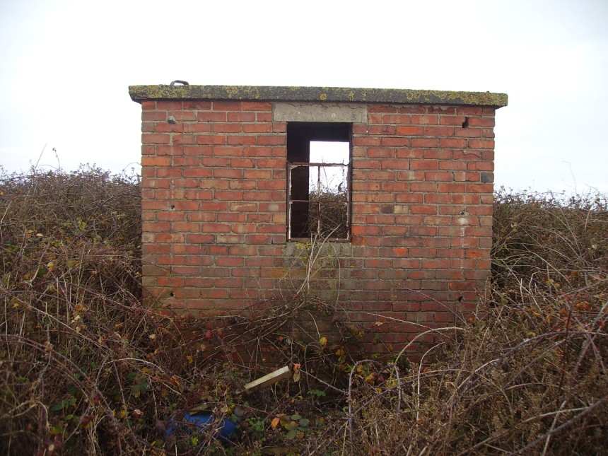
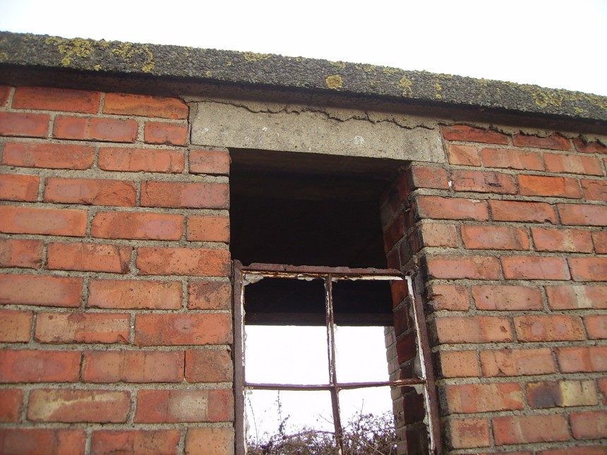
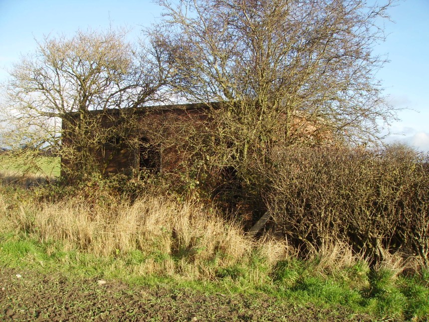
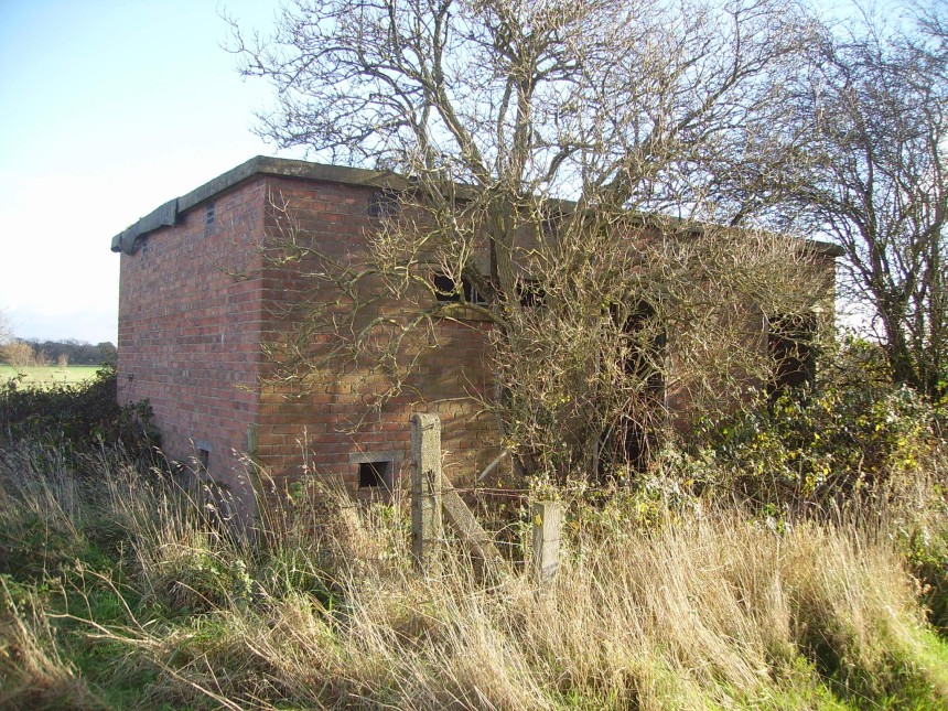
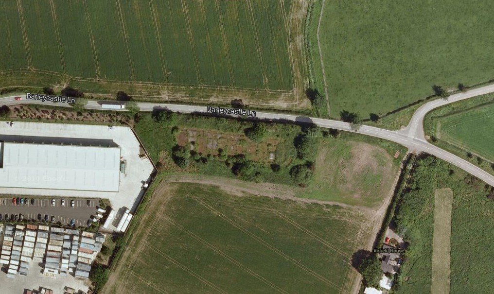
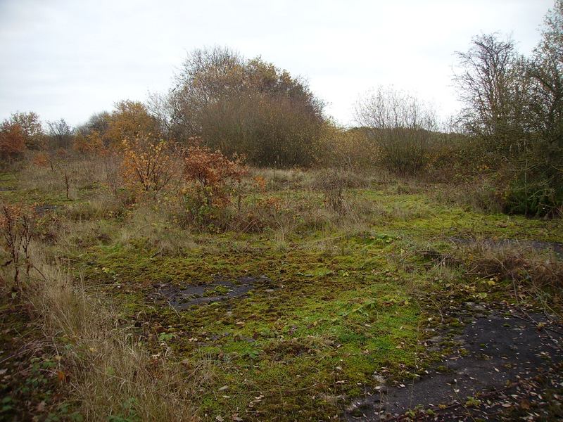
Police Post (Photos Taken Just Before Christmas 2014) In 1944 an aircraft maintenance yard was built on the North side of Barleycastle Lane and 4 large workshops and several smaller hangers were built. To gain access from the airfield to the air maintenance yard (AMY) a taxi way was constructed crossing Barleycastle Lane. At the crossing a police post building was built which was manned by Royal Naval Police to stop the public traffic and allow the movement of aircraft and transport to cross Barleycastle Lane. The police post was constructed of brick with an outside rendered finish. The roof pitch is constructed of asbestos corrugated roofing sheets fixed to steel rafters.
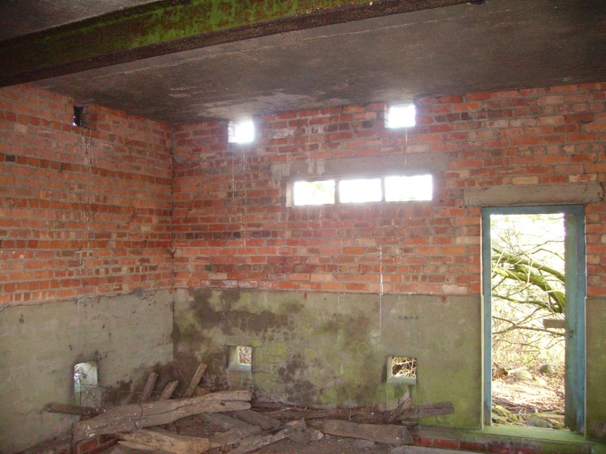
Police Post Reception Room The airfield taxi track came across the front of the lodge from left to right of the picture.
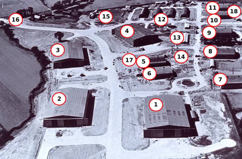
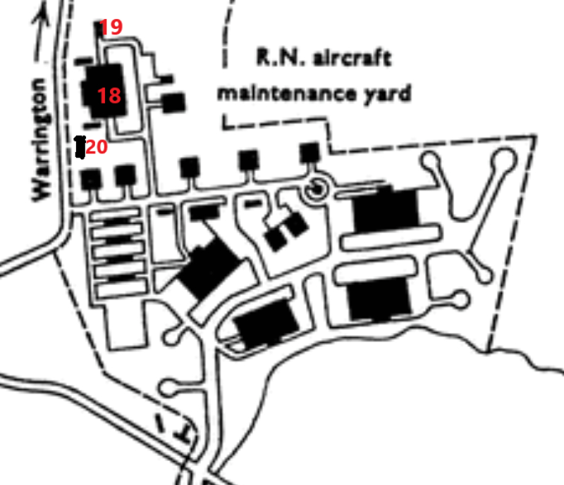
1/Aircraft Repair Section C/ Venom 2 Repair and Dispatch unit. 2/Aircraft Repair Section B/ Wyvern Repair and Dispatch unit 3/Aircraft Repair Section D/ Venom 1 Repair and Dispatch unit 4/Aircraft Repair Section A 5/ Air Ordnance Section 6/ Component Repair- Shop 7/ Dope Component-Shop 8/ Electrical and Instruments Shop 9 Woodwork Shop 10/ Engine Fitters Shop 11/ Metal Shop 12/ 4 Rows of stores Buildings 13/ Air Maintenance Control Office 14/ Battery Charging Building 15/ Fuel Bowser Section 16/ Royal Naval Police Lodge and Road Crossing 17/ Sewage Pump House 18/ Not shown on the photo above, behind this hangar area an Oxygen Charging Bay, Auxiliary Boiler House, and Engine Holding unit Hangar were Constructed.
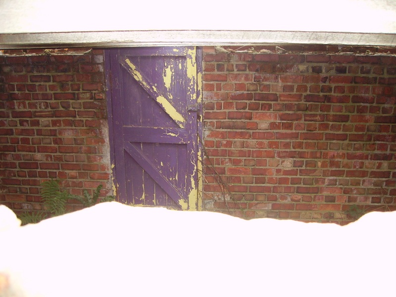
18 Engine holding unit Hangar 19 Oxygen Charging Bay 20 Auxiliary Boiler House The Ceiling of The Police Post Reception Area
The Back Side of The Police Post. You Can Still See Traces of Light Blue Paint at the Bottom.
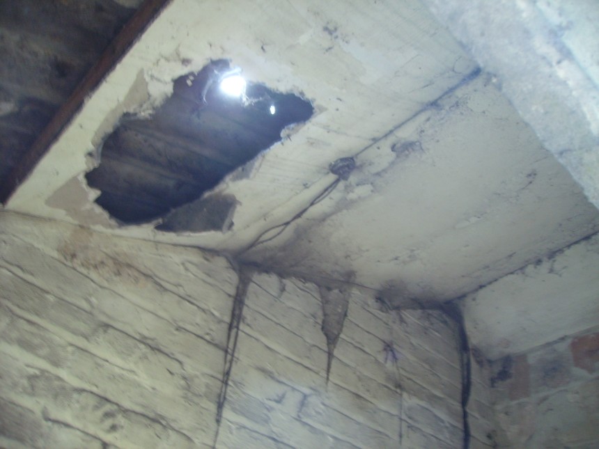
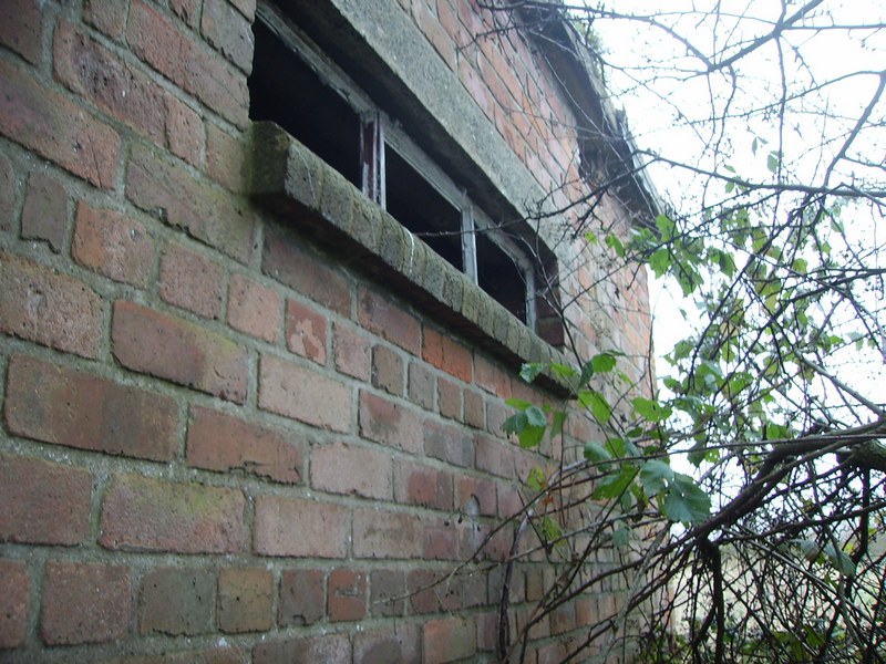
This is the inside View of the Room to the Right Hand Side of the Reception Room Taken Through the Hole that You Can See in the Modern Blockwork to The Right of the Photo
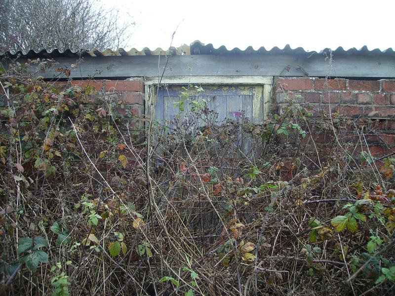
Barleycastle Lane. The Police Post is Just on the Right Behind the Large Tree. You Can See the Dark Green Bush that Grows on the Back of the Post as you have Just Seen in a Previous Photo (above). The road junction to the left is the entrance into the aircraft maintenance yard and the taxi track went from right to left across the front of the lodge from the airfield right across Barleycastle Lane and into the aircraft maintenance yard.
PABX Telephone Exchange Communications Centre & Signals Dept. This was the PABX Telephone Exchange for the Airfield & is on the South side of Arley Rd almost Next to Appleton Thorn Primary School. The building contained the PABX switchboard office with telegraphists, a yeoman of signals & a W.R.N.S cipher officer. It was Last Being used as a Cattery, but now it appears to be Disused.
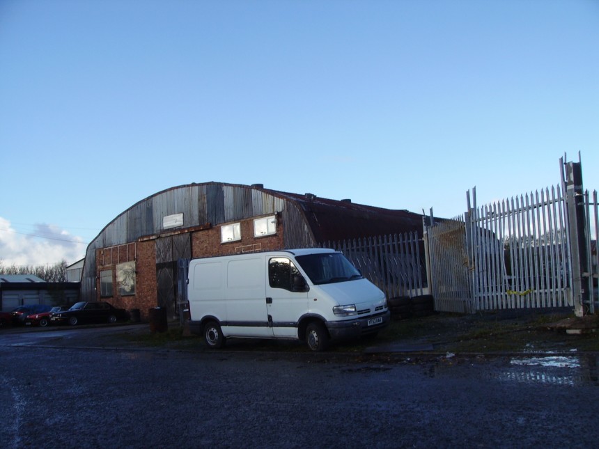
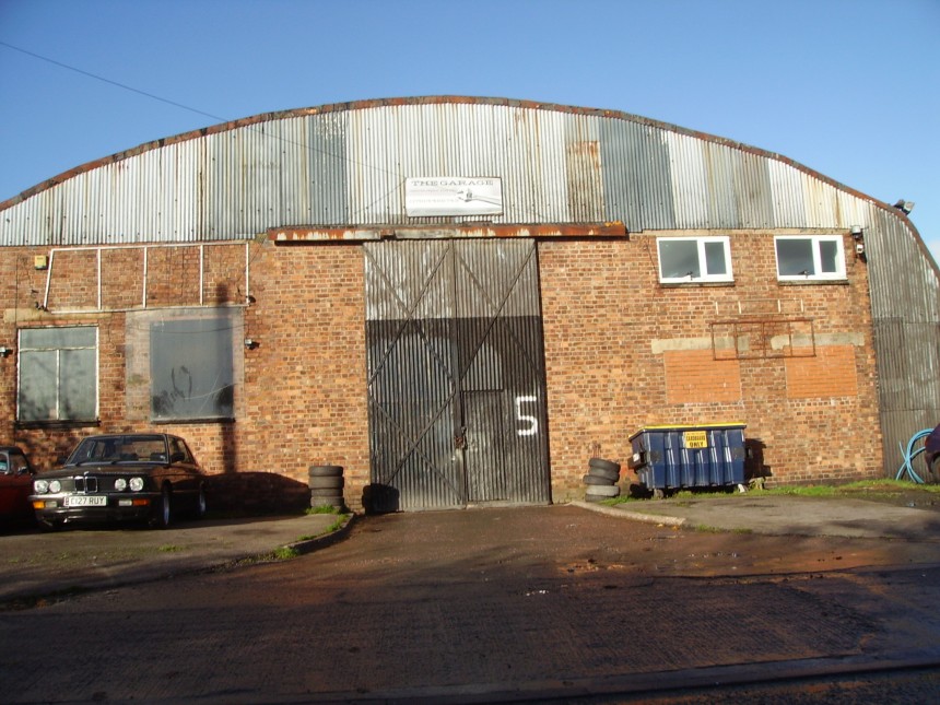
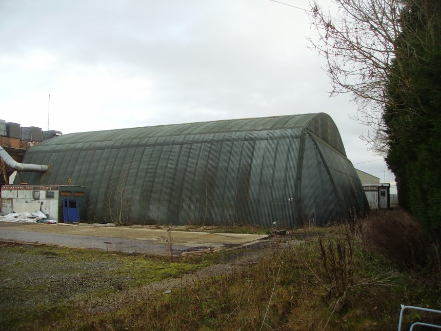
The Original Re-clad Hangars on the Naval Air Yard. (Pentag hangar with sloping sides and the other is a callender hamilton hanger)
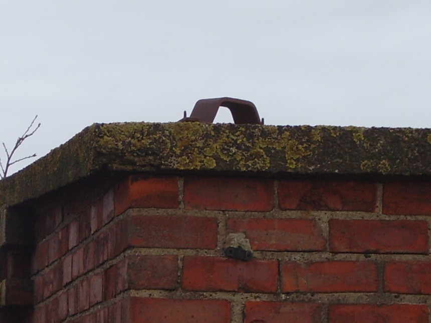
Note The 2 Brackets on Top of the Reinforced Concrete Roof (above) are Fixings For The 2 Lightning Conductors. Note The 2 Lines going Down The Walls Had Lightning Conductor Ground Cables Which Extended From The 2 Lightning Conductor Brackets To The Ground.
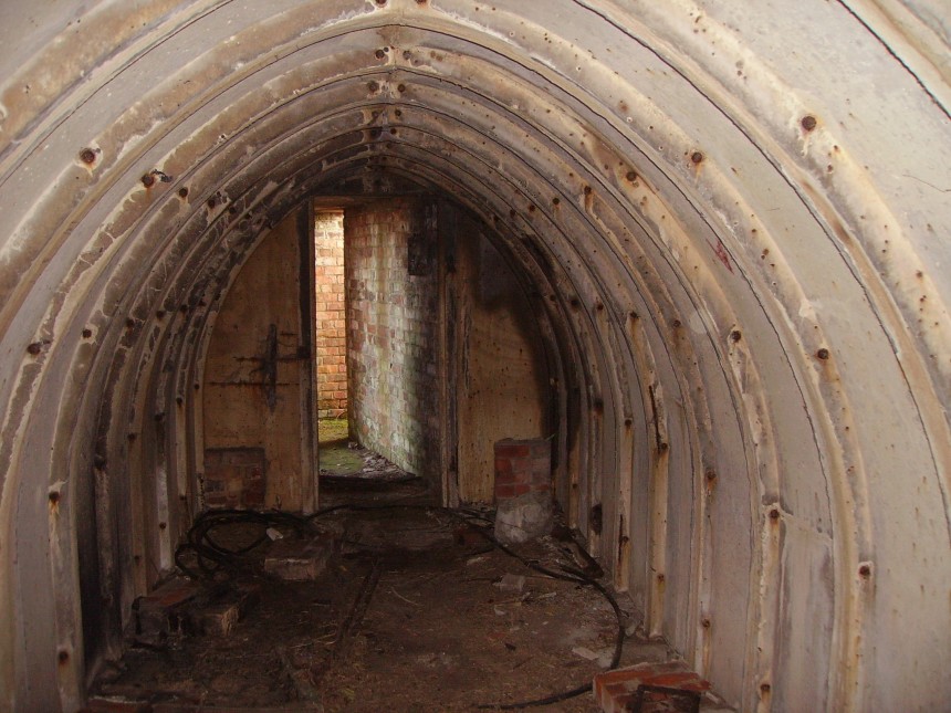
Rear View of Fighter Pens Showing Emergency Exit for 2 Aircraft Type ‘B’ Building Drawing No. 7161/41
View from the Top (front) of the South Fighter Pens Entrance Looking Down onto the Aircraft Dispersal Bay (Note: The South taxi way can be seen just beyond the aircraft dispersal bay)
Left Hand (front) of the South Fighter Pen Showing the Air Raid Entrance The Ground & Aircrew Would Use During an Air Attack. Photo Taken From the Aircraft Dispersal Bay Showing the Brick Dwarf Wall (on left) With Retaining Earthwork Traverses Above.
The Other Aircraft Dispersal Bay of the South Fighter Pens (The Shell Offices and Observation Buildings can be Seen on the Left)
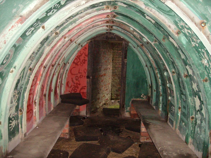
Walking in to the shelter from the Emergency Exit & Aircraft Dispersal Bay Exit (Note: The electrical switched fuse)
Photo Taken From The Emergency Exit & The Aircraft Dispersal Bay Entrance of the South Fighter Pens Air Raid Shelter
Photo inside The Air Raid Shelter Leading to the Aircraft Dispersal Bay (turn right at the doorway) (Note: The brick supports of the seating can clearly be still be seen)
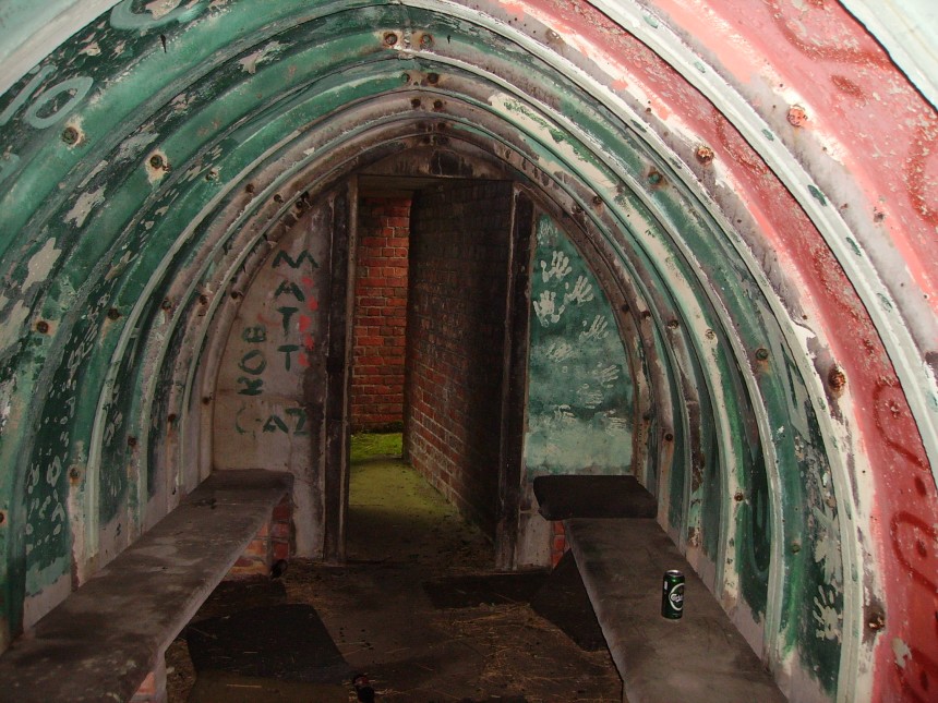
Emergency Exit End/Opposite Direction/End of the Shelter Leading to The Doorway that you Can See Leads to the Emergency Exit (turn right at the doorway) & The Aircraft Dispersal Bay (turn left at the doorway)
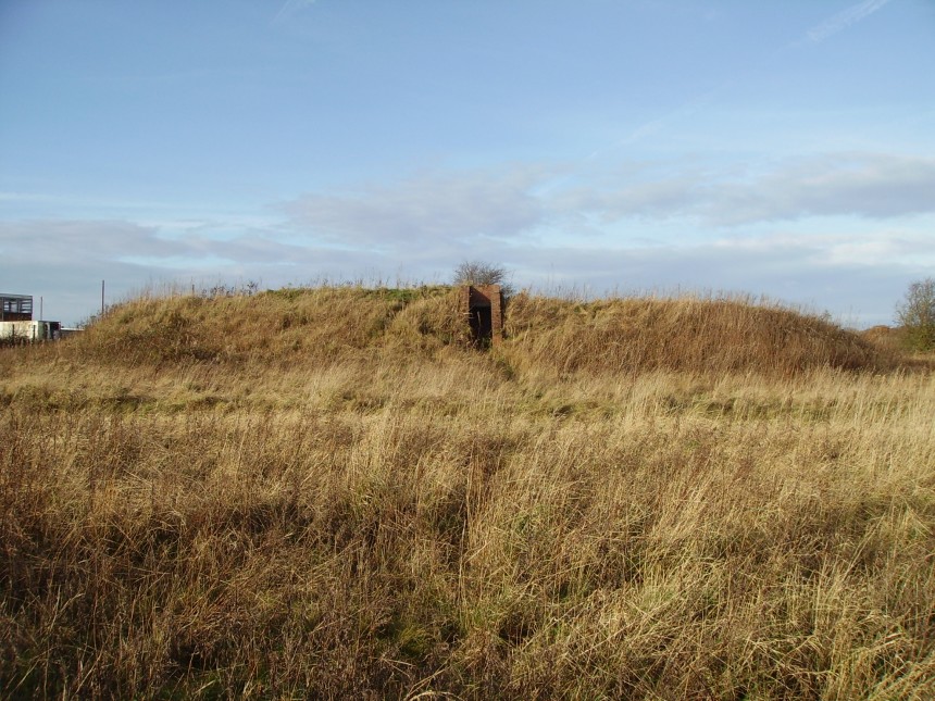
North Fighter Pens These North Fighter Pens are situated quite near to the M56 and are also next to the North East Taxiway.
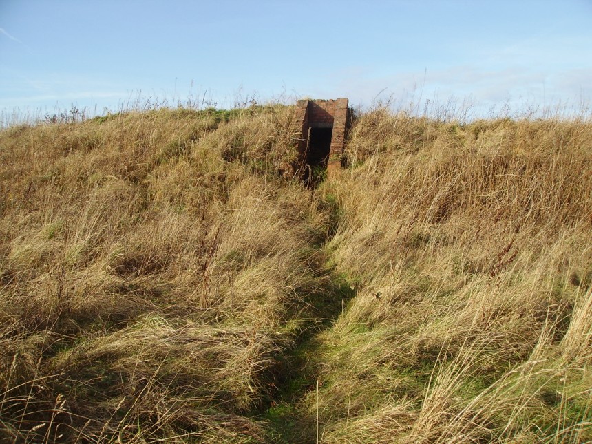
Photo taken from right to left of the diagram facing the emergency exit. Note the original seating still exists as of November 2013
Another View of the Right Hand Air Raid Shelter Entrance with the Aircraft Dispersal Bay in the Foreground
Both the Right & Left The Air Raid Shelter Entrances can be Seen on this Photo. Note: In the Foreground is the Earth Traverse Banking that Separates the Left & Right Aircraft Dispersal Bays.
Left Hand Side of the Fighter Pens. Note: The Brick Dwarf Wall & The Earth Traverse Banking. Also in the Foreground to the left is the Aircraft Dispersal Bay.
ADI Block The ADI Block is opposite the aviation fuel inspection apron next to the North East taxi way in the wooded area.
Inside of the ADI Building. The entrance is on the right hand side of the photo.
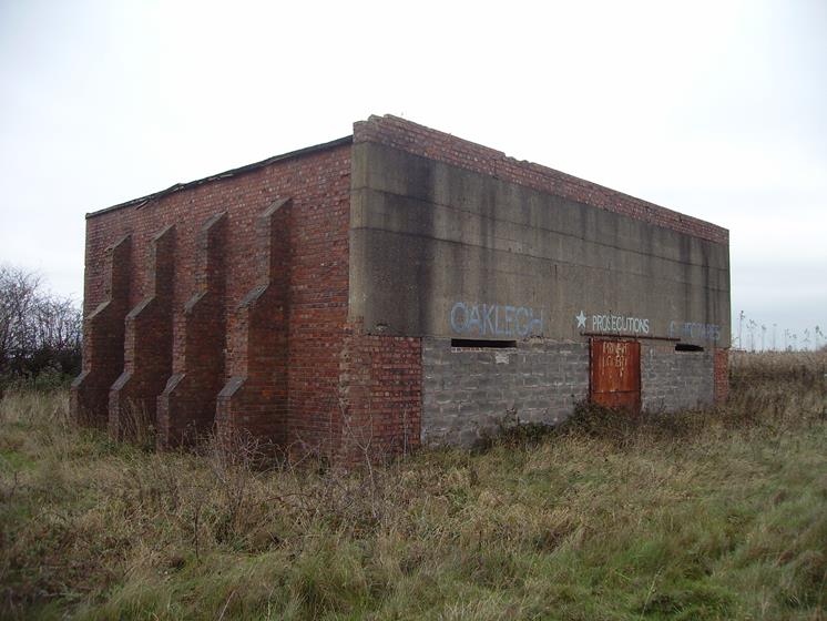
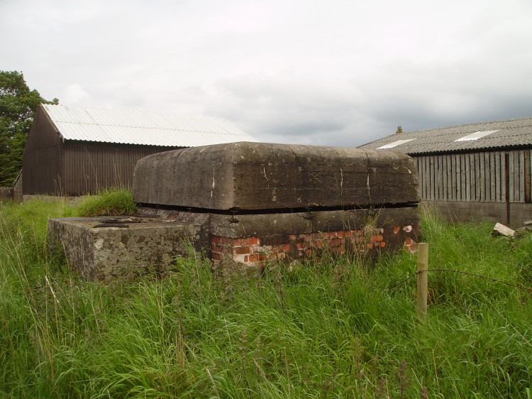
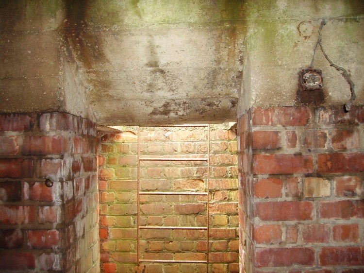
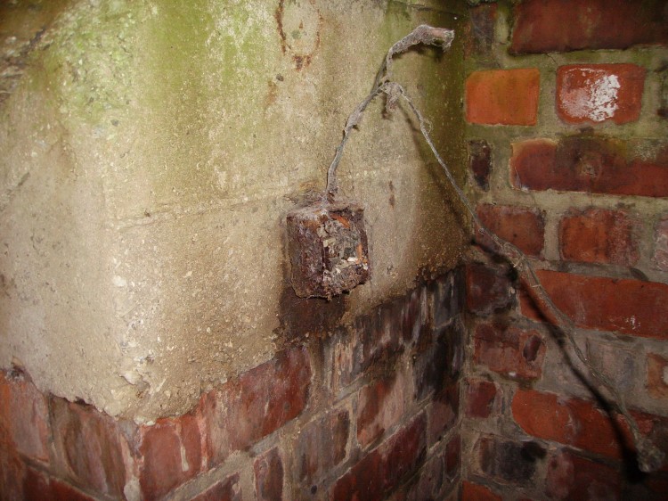
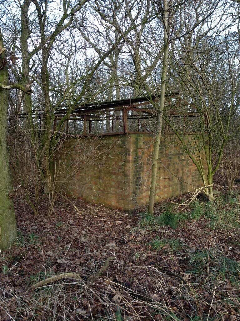
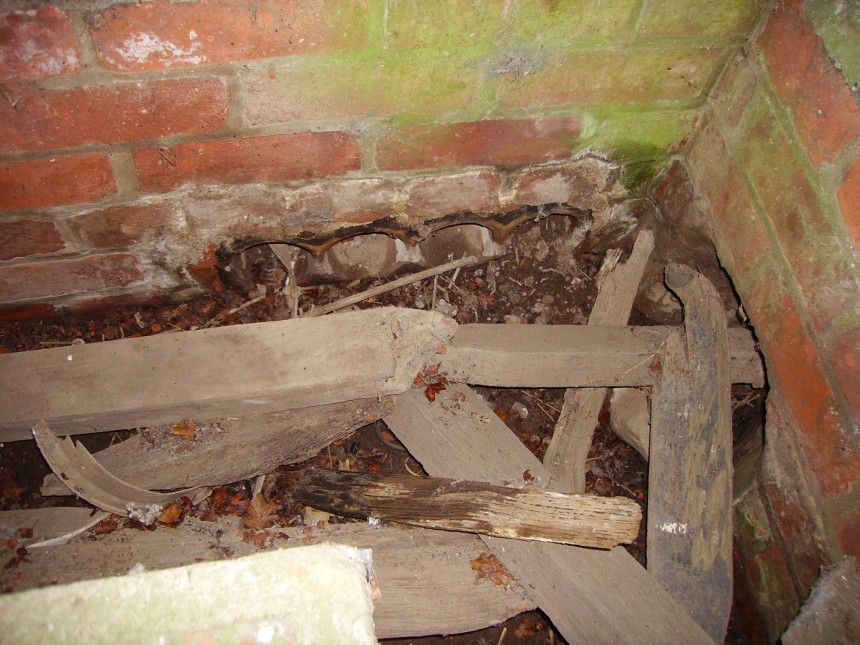
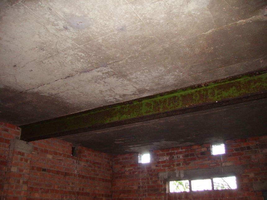
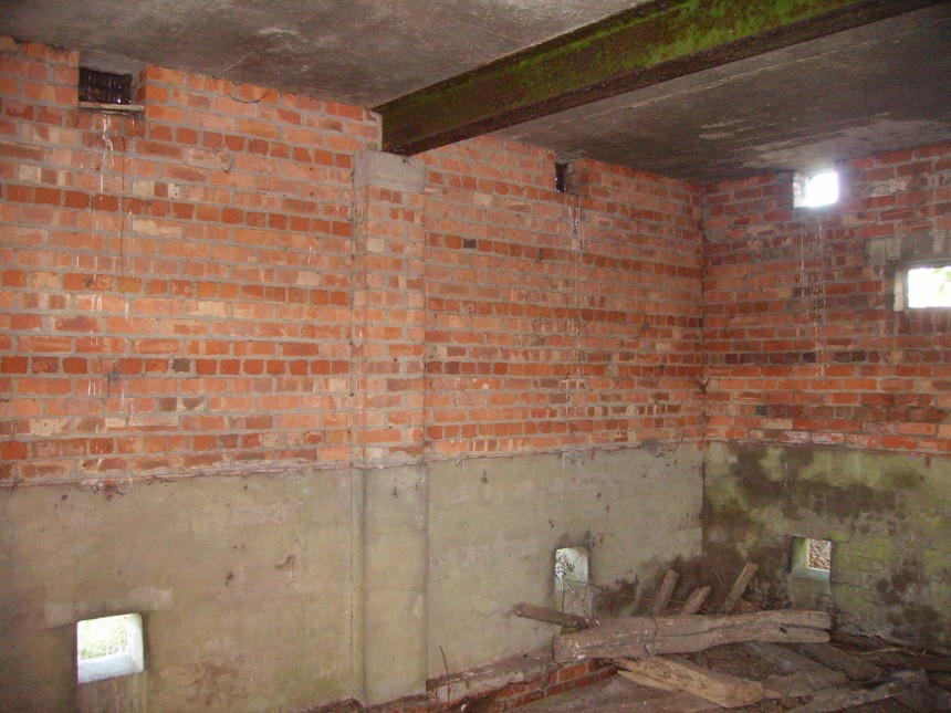
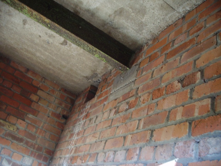
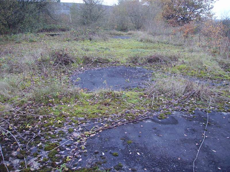
Standby Sethouse (Standby Electricity Generator Building) (All the following photos were taken around 2013 and show the outside and inside the building) The standby sethouse is constructed of brick with a reinforced flat concrete roof, with a central supporting RSJ and consisted of 3 rooms. The building itself is situated quite near the South Extension Taxi-Way at the end of the main runway 28.
Room 2 – Note the Floor Ducts Would Have Removable Concrete Slabs Resting on the Lip if the Concrete.
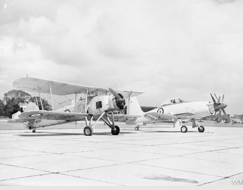
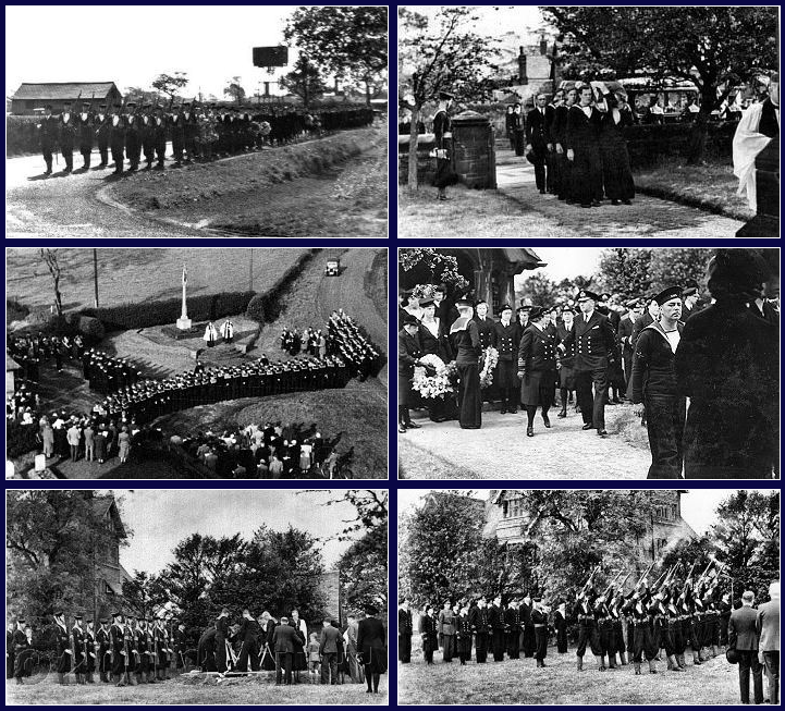
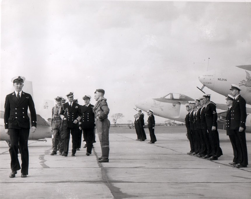
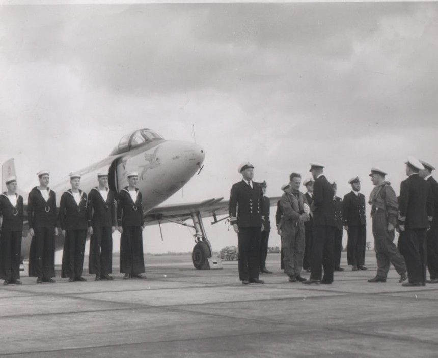
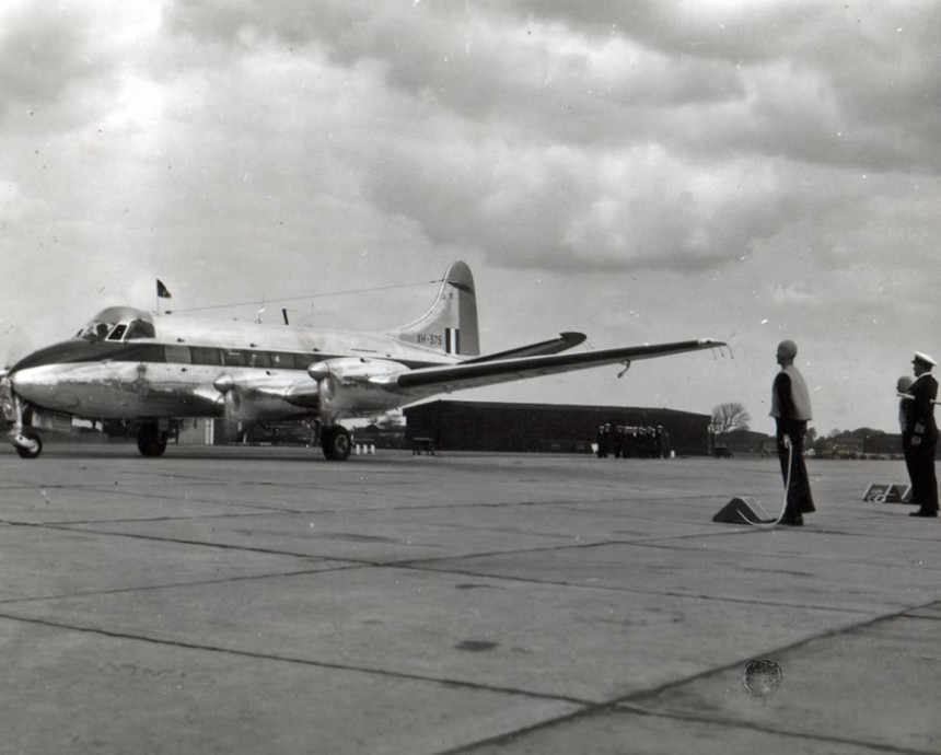
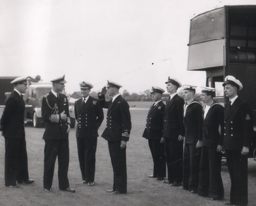
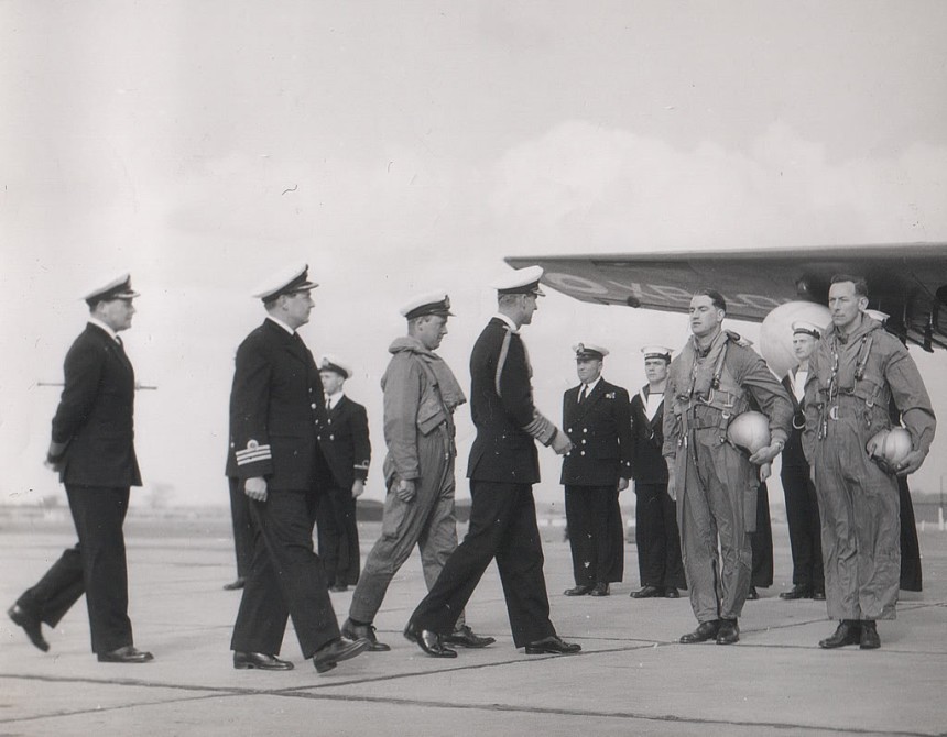
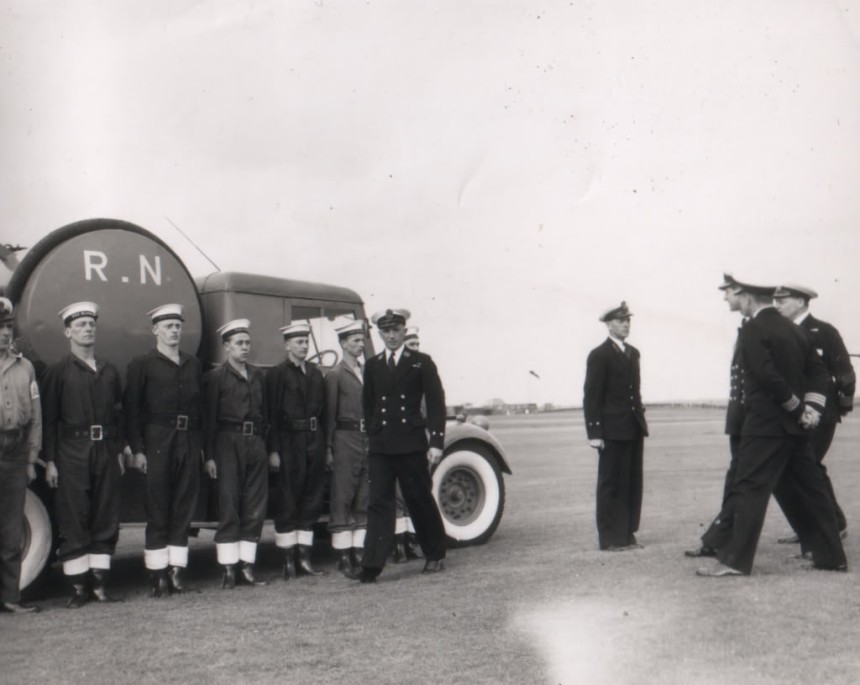
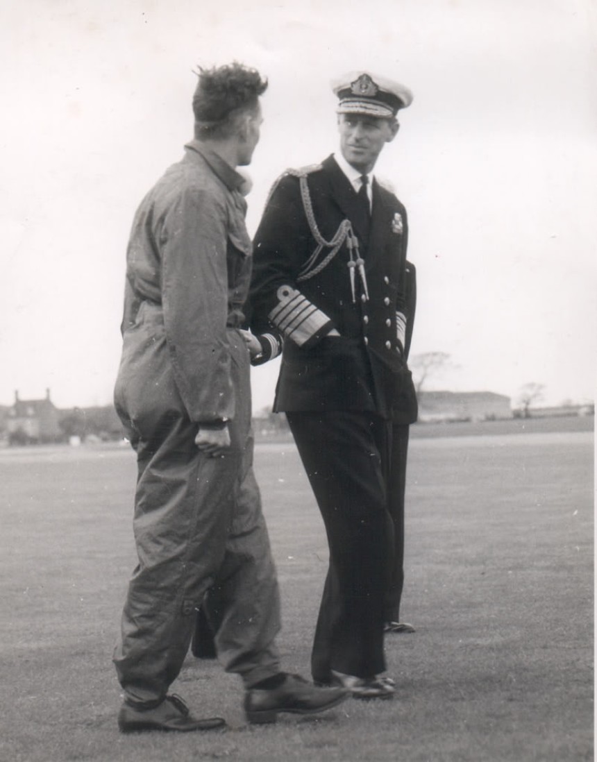
The Royal Visit 17th/18th of May 1956 On the 17th/18th of May 1956 HRH Prince Philip paid a visit to the airfield shortly before the airfield was closed. The Prince was inspecting the Northern Air Division and here he can be seen walking past Supermarine Attackers and Their Pilots of 1831 NAS (Naval Air Squadron) of the RNVR (Royal Naval Volunteer Reserve).
HRH Prince Philip inspecting HMS Blackcap Gliding Club. In the background is the glider winch, which was a sawn off furniture wagon with a modified barrage balloon winch on top.
Barley Castle Lane is in the background and you can see 1 of the maintenance hangars on the air naval yard to the right of the photo (the hangar still exists today and has been re-clad). The farmhouse in the background still survives today (2013) but it is in a poor state. His Royal Highness Prince Philip is talking to 1 of the pilots of 1831 NAS of the RNVR (Royal Naval Volunteer Reserve)
This is the maintenance hangar (as it is today 2013) shown in the photo above at the back of the Prince.
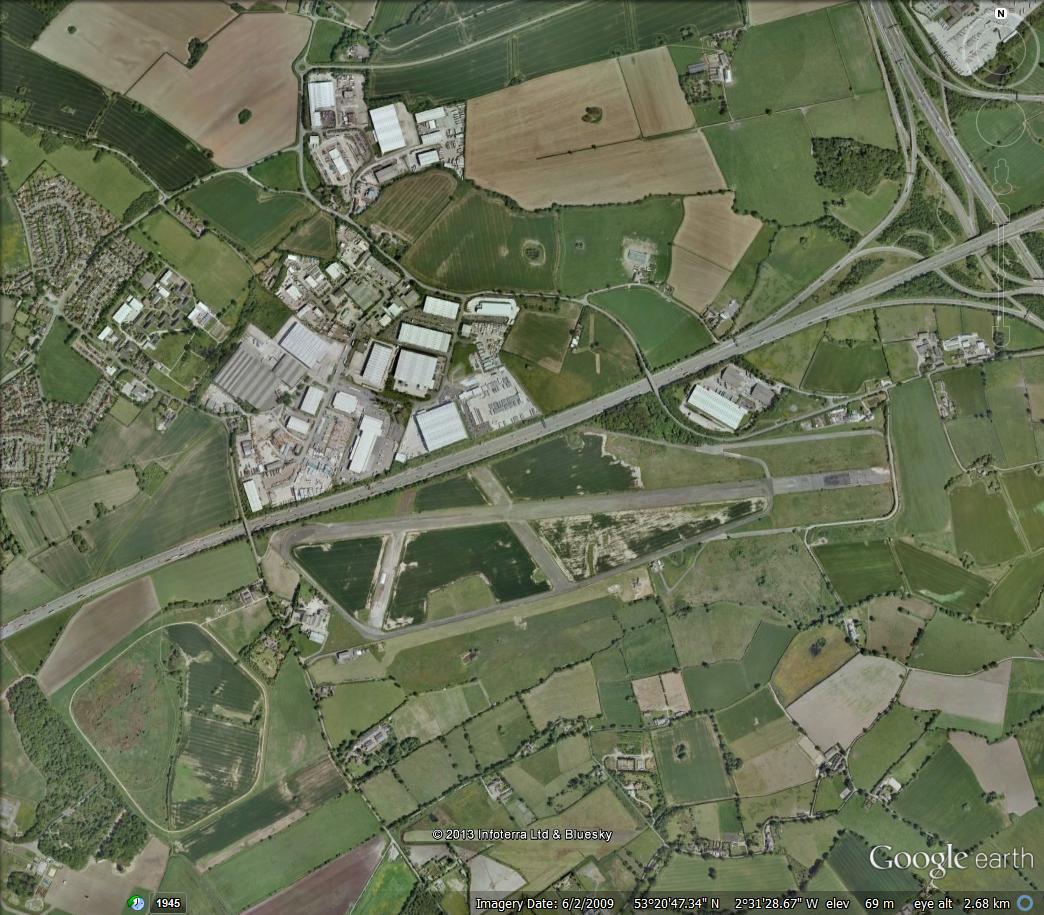
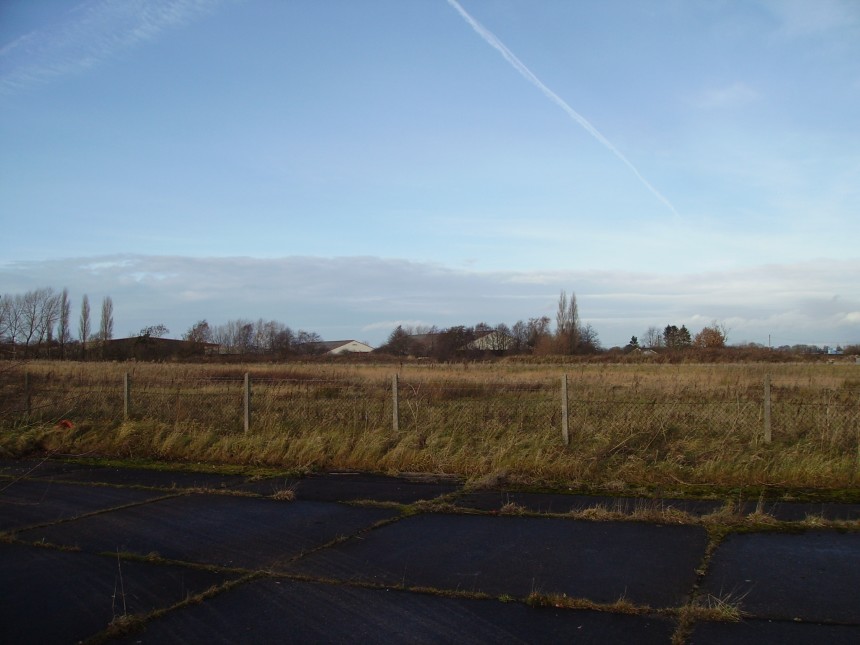
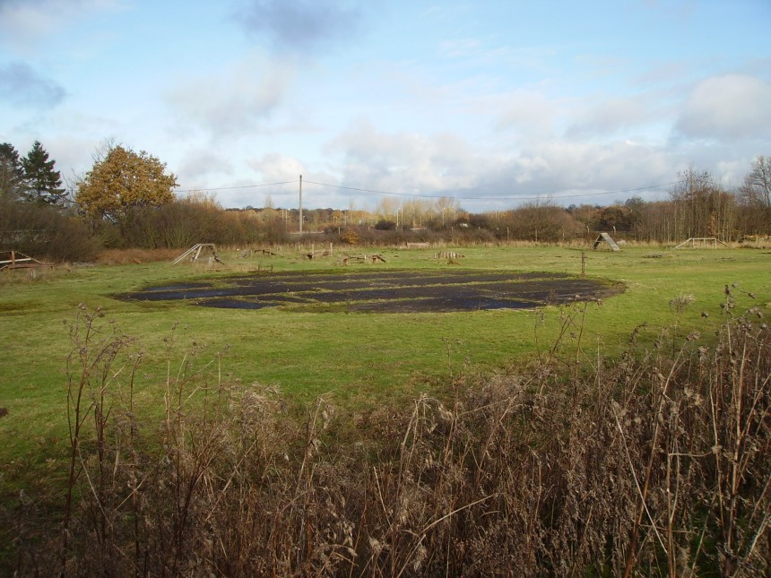
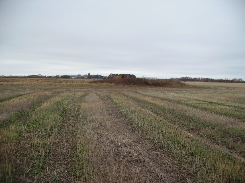
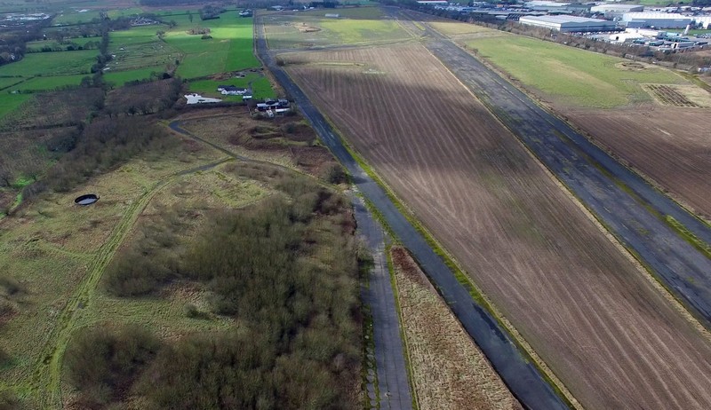
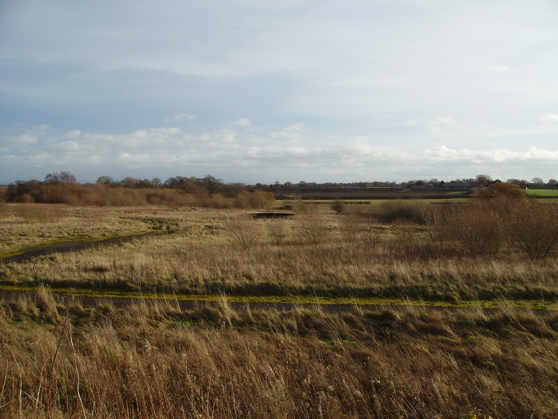
Recent aerial photo of the airfield looking West. The main runway can be seen to the right and the southern perimeter track to the left.
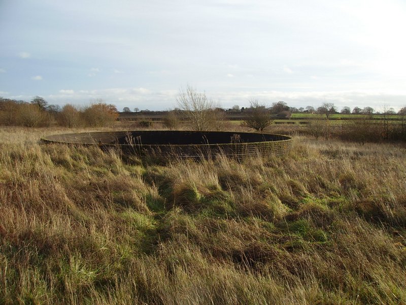
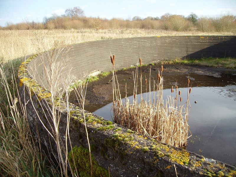
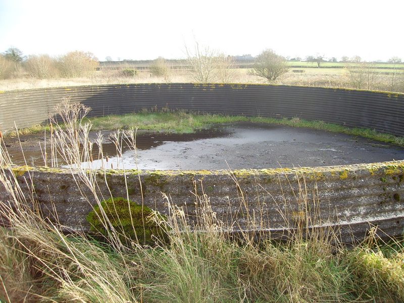
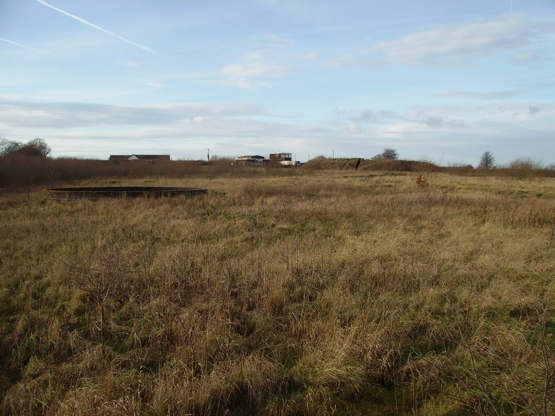
Static Water Tank (Emergency Water Supply) in The Background & the South Dispersal Perimeter Track in the Foreground and to the Left
Static Water Tank (Emergency Water Supply) Photo Taken from the Opposite Angle Showing the Fighter Pens
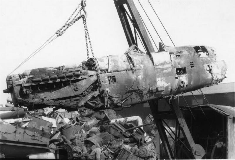
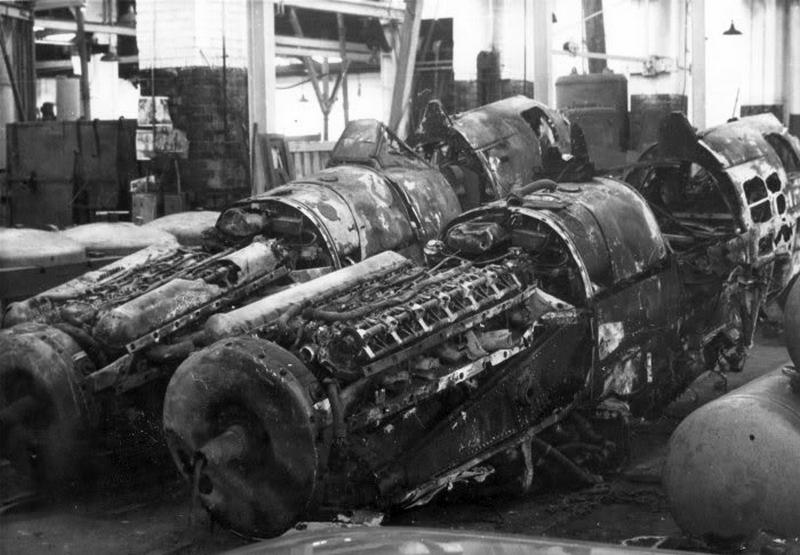
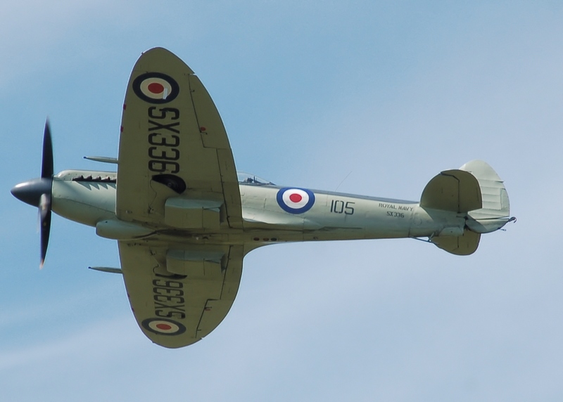
The Following Photos are Showing 2 Seafire/Spitfires Being Recovered on Brierley’s Scrapyard Warrington Wilderspool Causeway That Were From HMS Blackcap Stretton. The scrapyard was behind Warrington corporation bus garage which was the former site of 2 Fairey aviation workshop hangars. At Least One of These Was Rebuilt to Become the SX336 Shown Below in The Colour Photograph in Flying Condition.
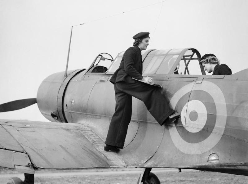
Antrobus Type 15 Radar Royal Naval Type 277 Radar © Historic Aviation Military — All rights reserved Non Commercial — Non Profit Website / Organisation